
Quick Links

About Us
The responsibilities and functions of Broome GIS are wide and varied. Some of the more important responsibilities are listed below:Data Management
- GIS data are the foundation of all Broome GIS capabilities.
- Outdated and unmaintained GIS data are of less use then current data.
- Broome GIS maintains critical 'Base Map' data layers used by other departments and the public at large.
- Broome GIS is constantly creating, collecting, acquiring, and updating GIS data and making the information available to the public through mapping applications and PDF format maps when appropriate.
Map Production
- Maps created using GIS data are one important physical product that Broome GIS produces.
- Although GIS is much more than simply maps, these are what most general users equate GIS with.
Application Management
- Develop and maintain custom GIS applications.
911 Addressing
- Maintain and assign all 911 addresses.
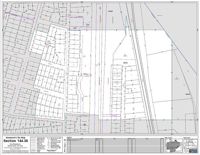
Tax Mapping
- View information regarding Broome County tax mapping.
- View/download PDF format tax sheet maps.
- Request prints/PDFs of tax sheet maps.
- Broome County Real Property
Crime Mapping & Analysis
- Mapping of incidents and crimes on a weekly and monthly basis, including density/hotspots where appropriate.
- Crime analysis and reporting based on daily information from municipal police departments for certain crime types.
- Mapping and analysis funding from GIVE grant.
911 Dispatch Mapping
- Support and maintain 911 mapping component in the Emergency Services Dispatch Center.
- Key GIS layers used by Dispatch include 911 address points, street centerlines, parcels, aerial photos, and response zones.
- Broome County Emergency Services Communications
Website Maintenance
- Support and maintain GIS Portal website including the interactive mapping applications and online map collection.
- Support and maintain web maps, apps, and dashboards on the Broome County GIS ArcGIS Online site.
Coordination
- Broome GIS serves as the central coordinating body for all matters related to mapping and GIS.
- Coordination is important so efforts are not duplicated throughout the county and priorities can be established in a logical way.
Training & Support
- Broome GIS provides training and technical support to both desktop GIS users at the County and City as well as to online GIS users.
Applications
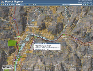
Parcel Mapper
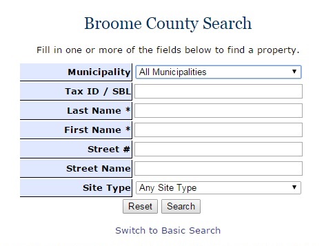
Real Property Search
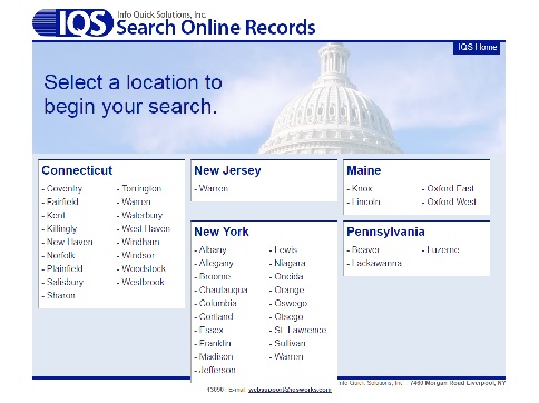
County Clerk Search
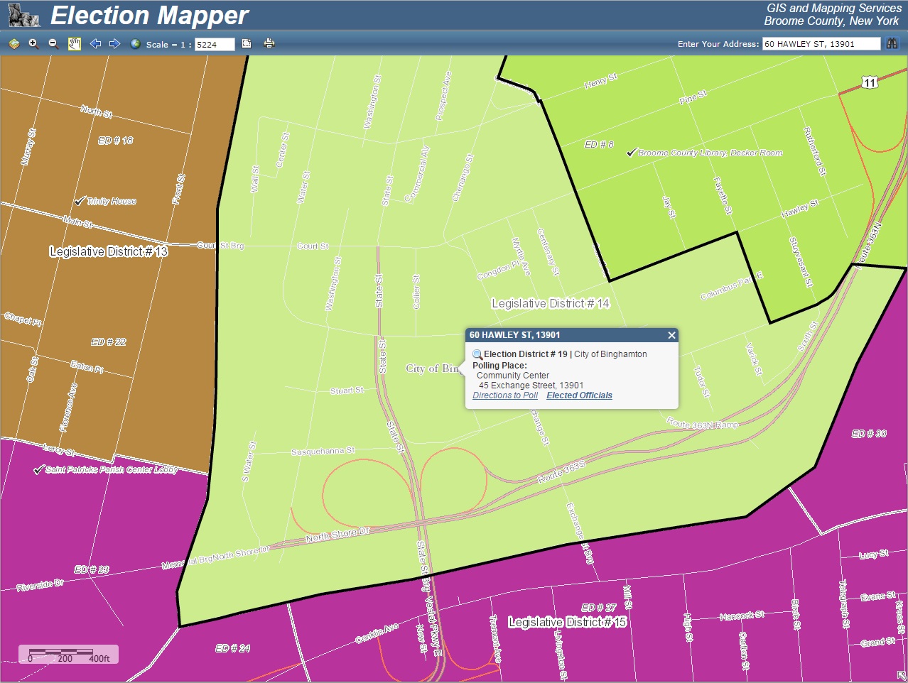
Election Mapper
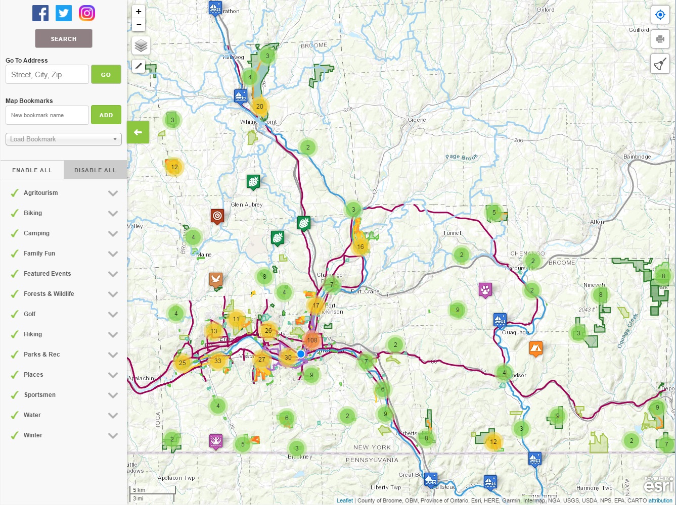
Go All Out Broome County
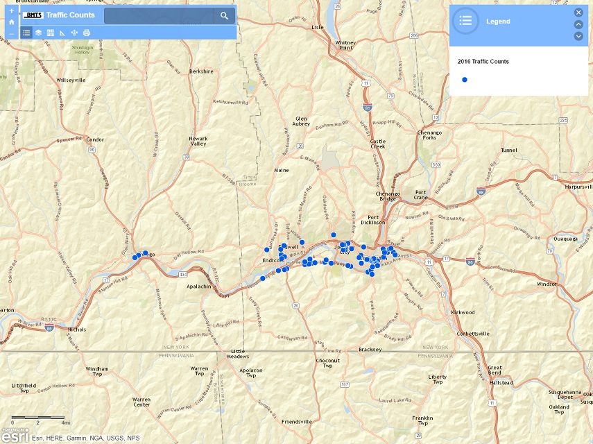
BMTS Traffic Counts
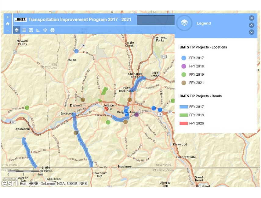
2017-2021 BMTS TIP Projects
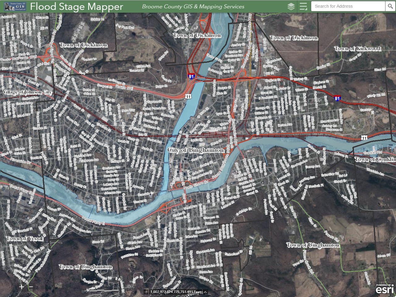
Flood Stage Mapper
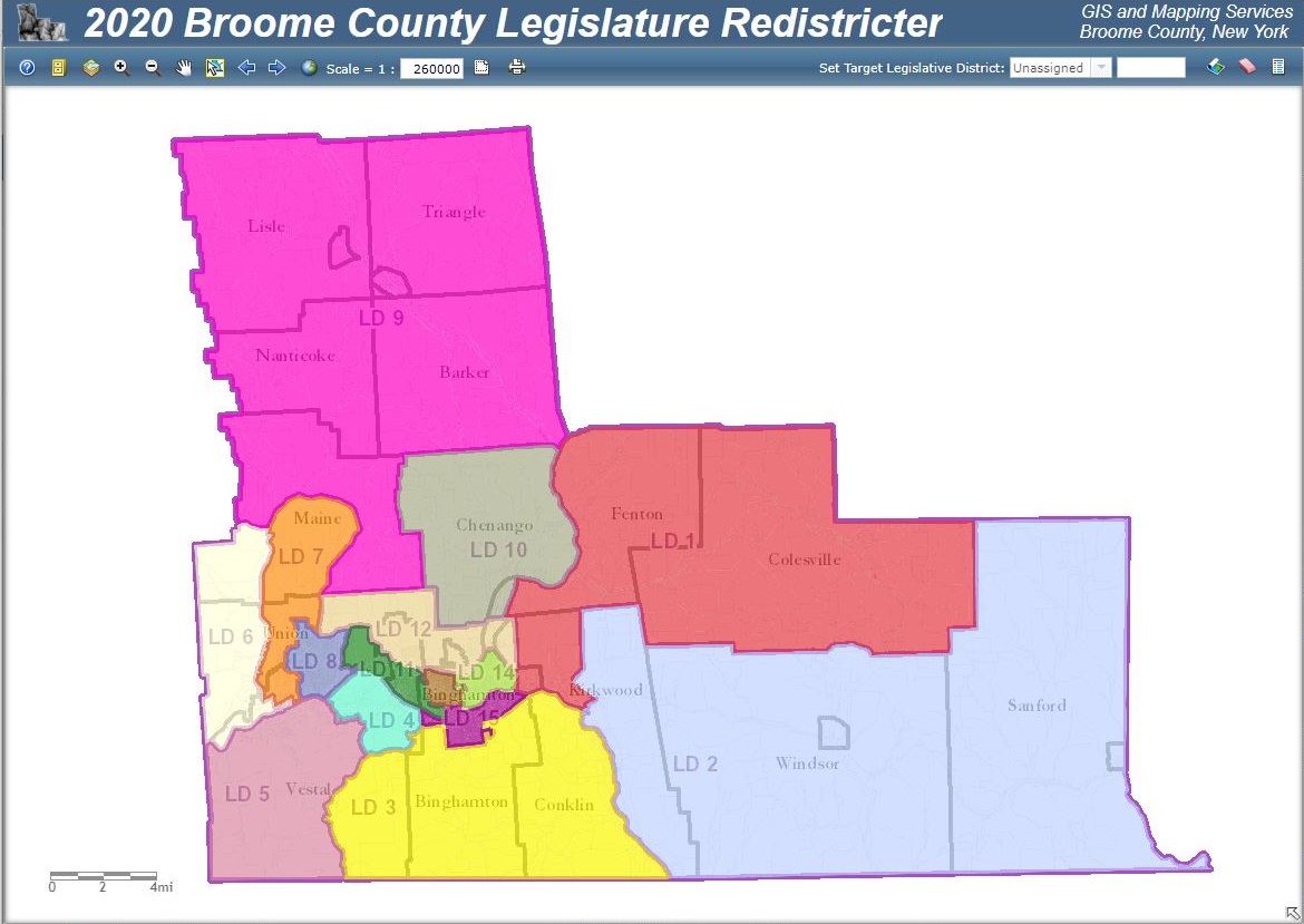
2024 Redistricter
Dashboards
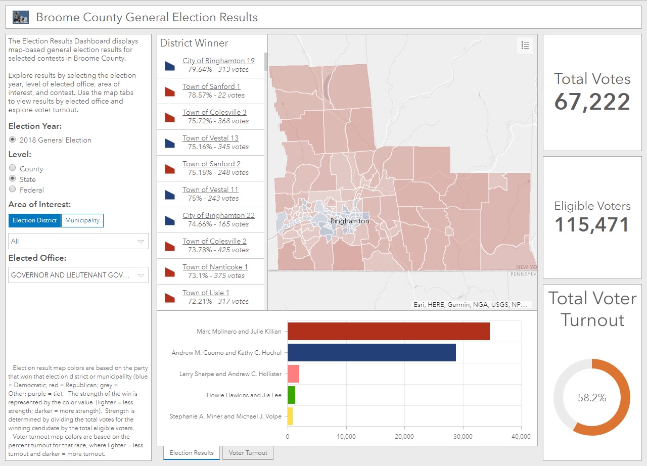
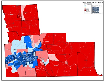
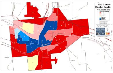
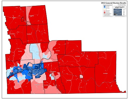
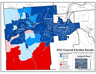
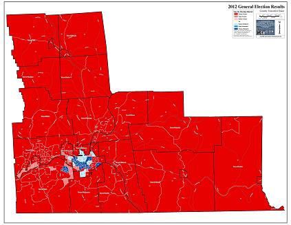
General Election Results
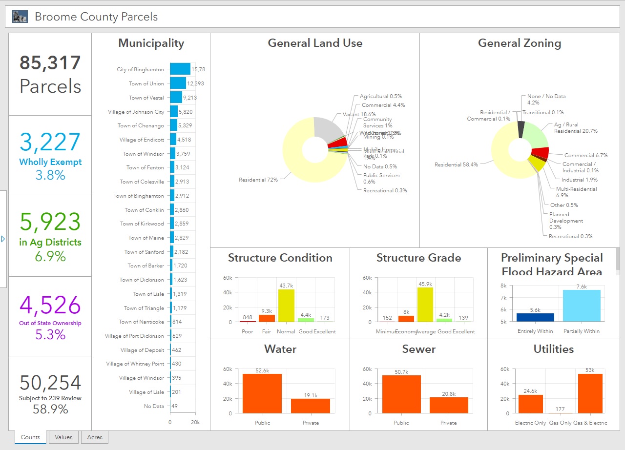
Broome County Parcels
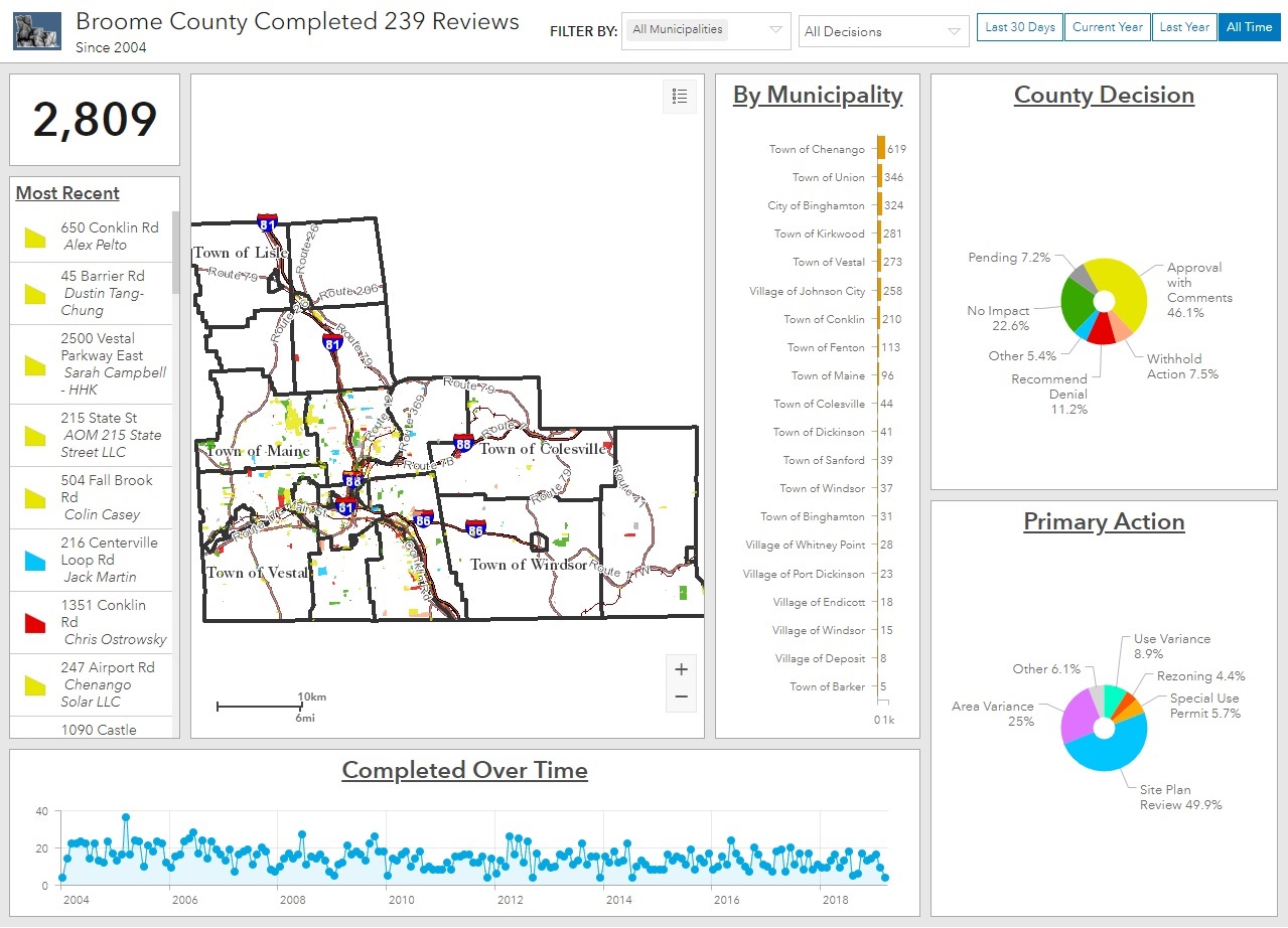
Completed 239 Reviews
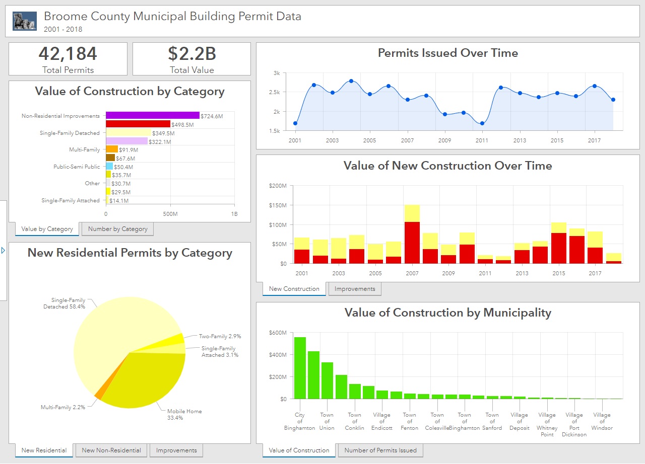
Municipal Building Permits
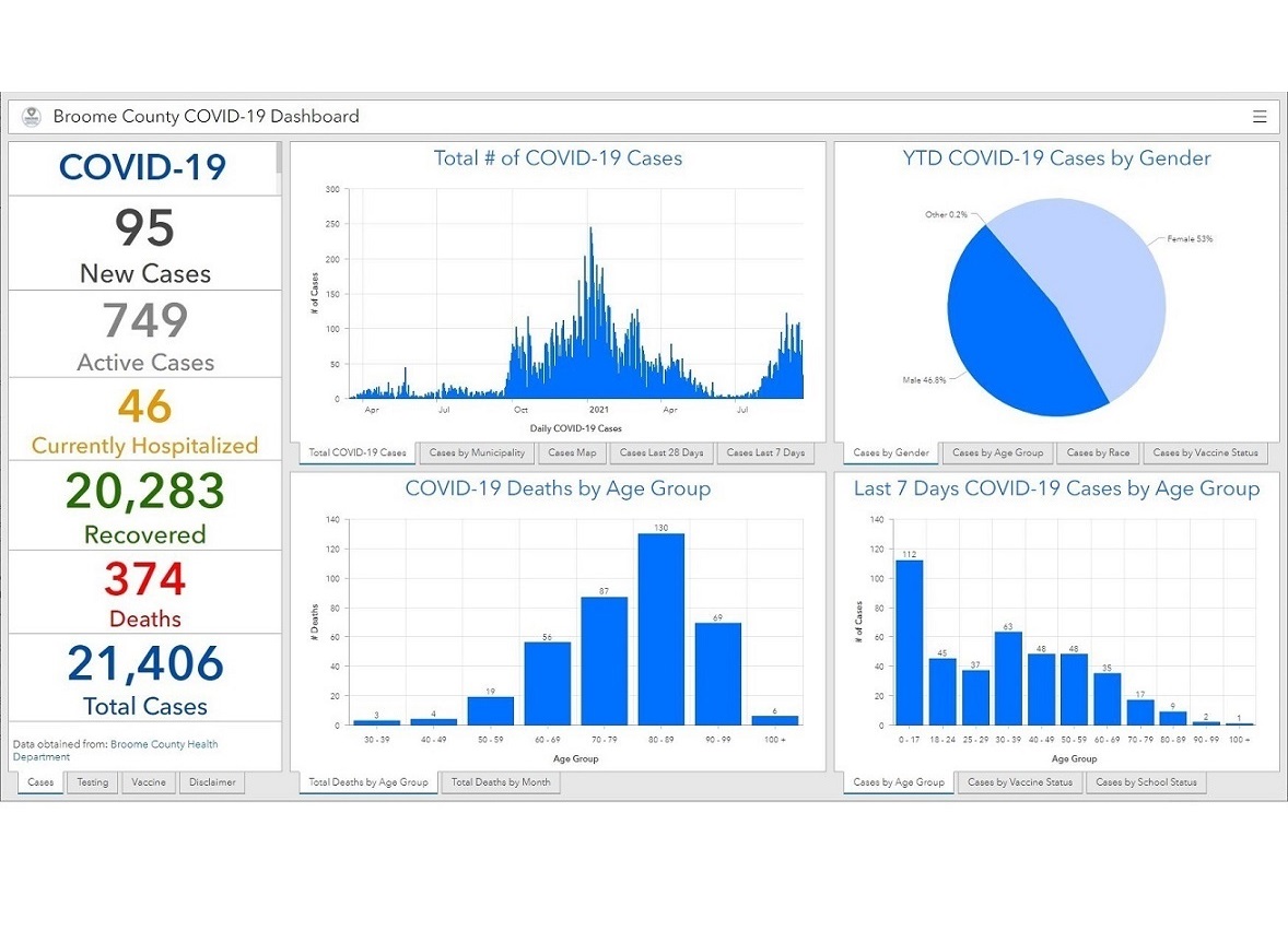
COVID-19 Dashboard
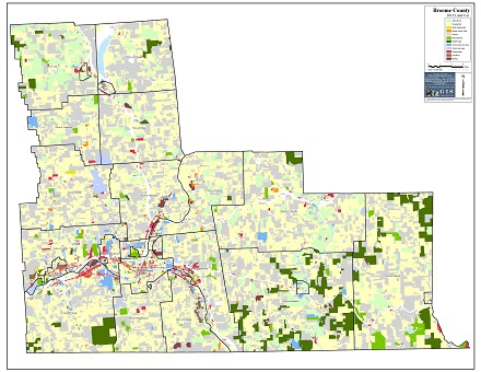
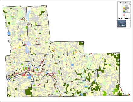
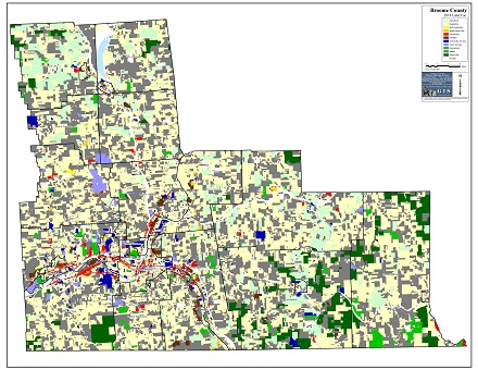
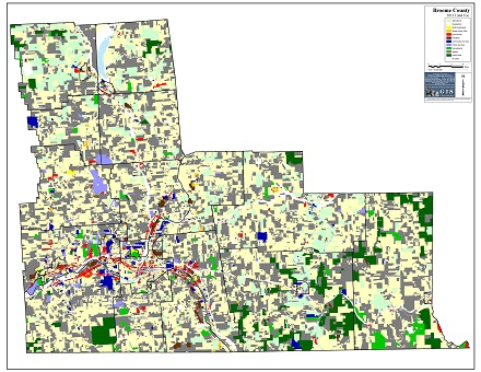
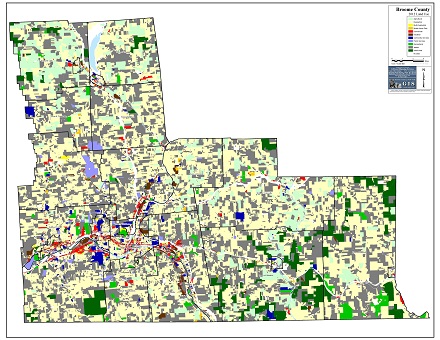
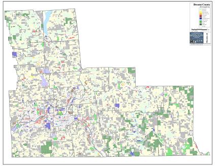
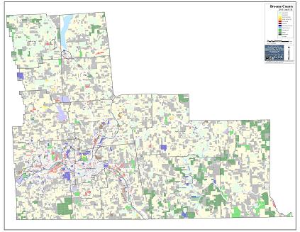
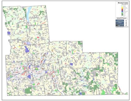
Map Library
34 x 44 inches

22 x 34 inches
17 x 22 inches
17 x 22 inches
22 x 34 inches
17 x 22 inches
17 x 22 inches
17 x 22 inches
17 x 22 inches
17 x 22 inches
17 x 22 inches
17 x 22 inches
17 x 22 inches
17 x 22 inches
17 x 22 inches
22 x 34 inches
22 x 34 inches
17 x 22 inches
(30 Pages)
8.5 x 11 inches
(2 Pages)
8.5 x 11 inches
(3 Pages)
8.5 x 11 inches
(7 Pages)
8.5 x 11 inches
(2 Pages)
8.5 x 11 inches
(4 Pages)
8.5 x 11 inches
(4 Pages)
8.5 x 11 inches
(4 Pages)
8.5 x 11 inches
(4 Pages)
8.5 x 11 inches
(1 Page)
8.5 x 11 inches
(3 Pages)
8.5 x 11 inches
(1 Page)
8.5 x 11 inches
(1 Page)
8.5 x 11 inches
(2 Pages)
8.5 x 11 inches
(36 Pages)
8.5 x 11 inches
(18 Pages)
8.5 x 11 inches
(4 Pages)
8.5 x 11 inches

34 x 44 inches
17 x 22 inches
17 x 22 inches
17 x 22 inches
17 x 22 inches
17 x 22 inches
17 x 22 inches
17 x 22 inches
17 x 22 inches
17 x 22 inches
17 x 22 inches
17 x 22 inches
17 x 22 inches
17 x 22 inches
17 x 22 inches
17 x 22 inches
22 x 34 inches
17 x 22 inches
17 x 22 inches
17 x 22 inches
17 x 22 inches
17 x 22 inches
17 x 22 inches
17 x 22 inches
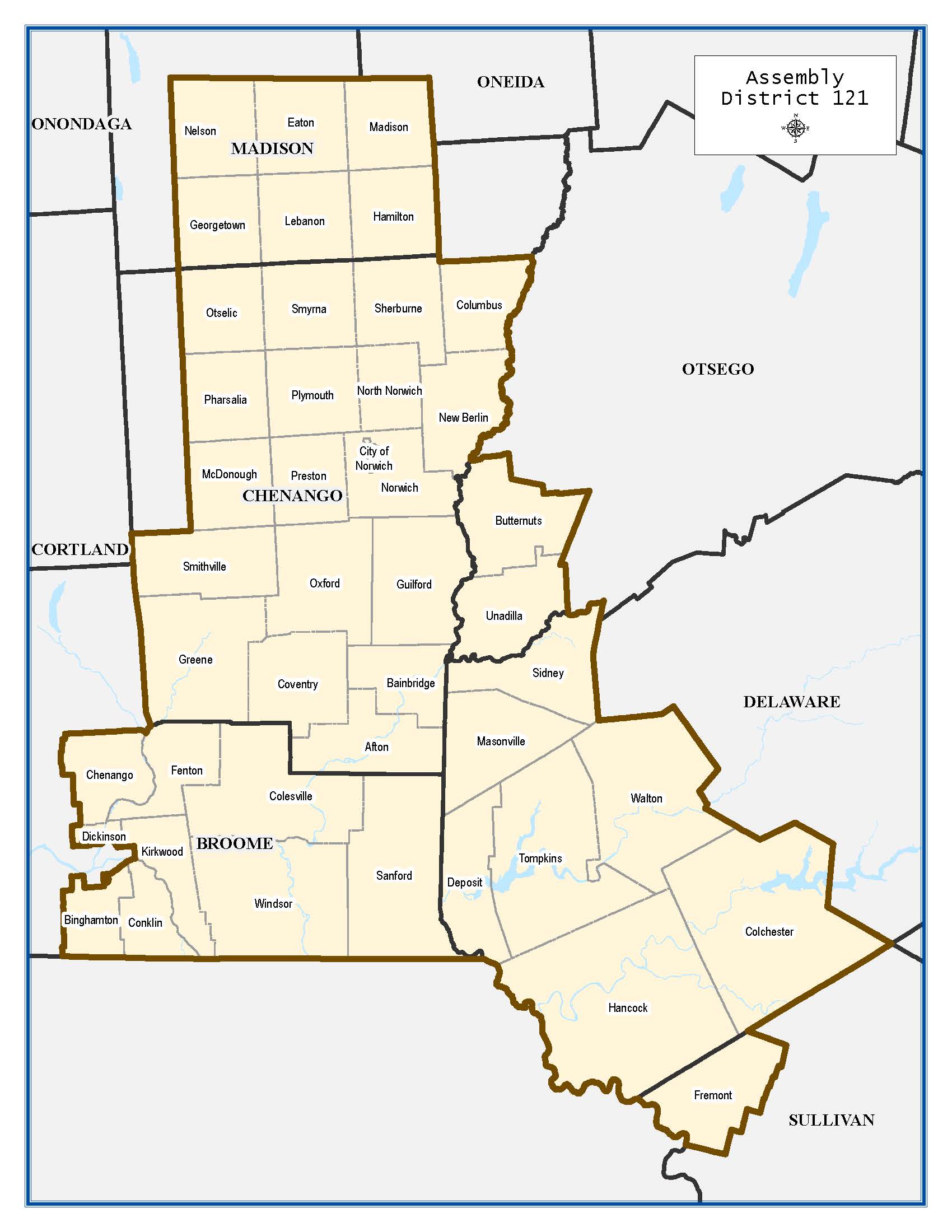
Assembly District
8.5 x 11 inches
Assembly District
8.5 x 11 inches
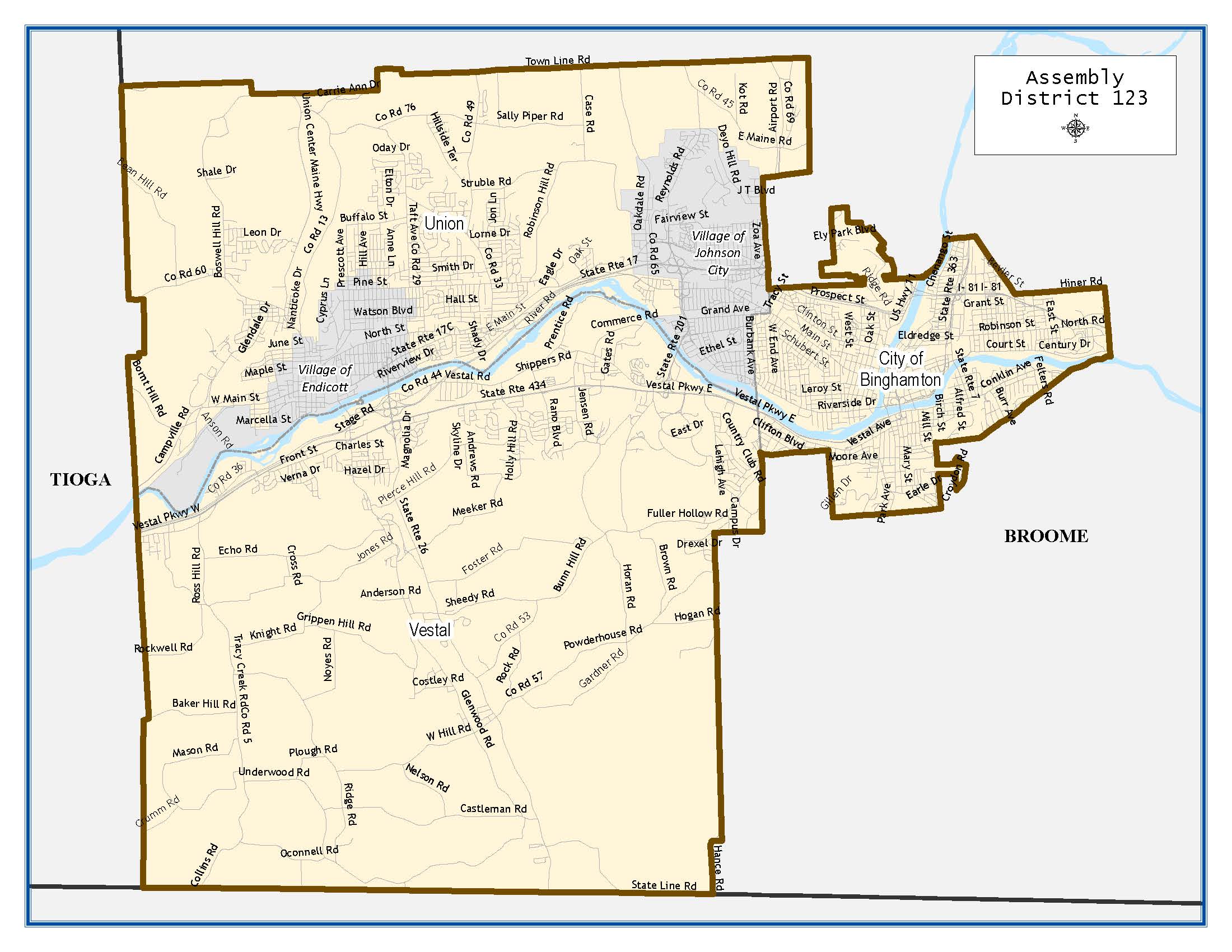
Assembly District
8.5 x 11 inches
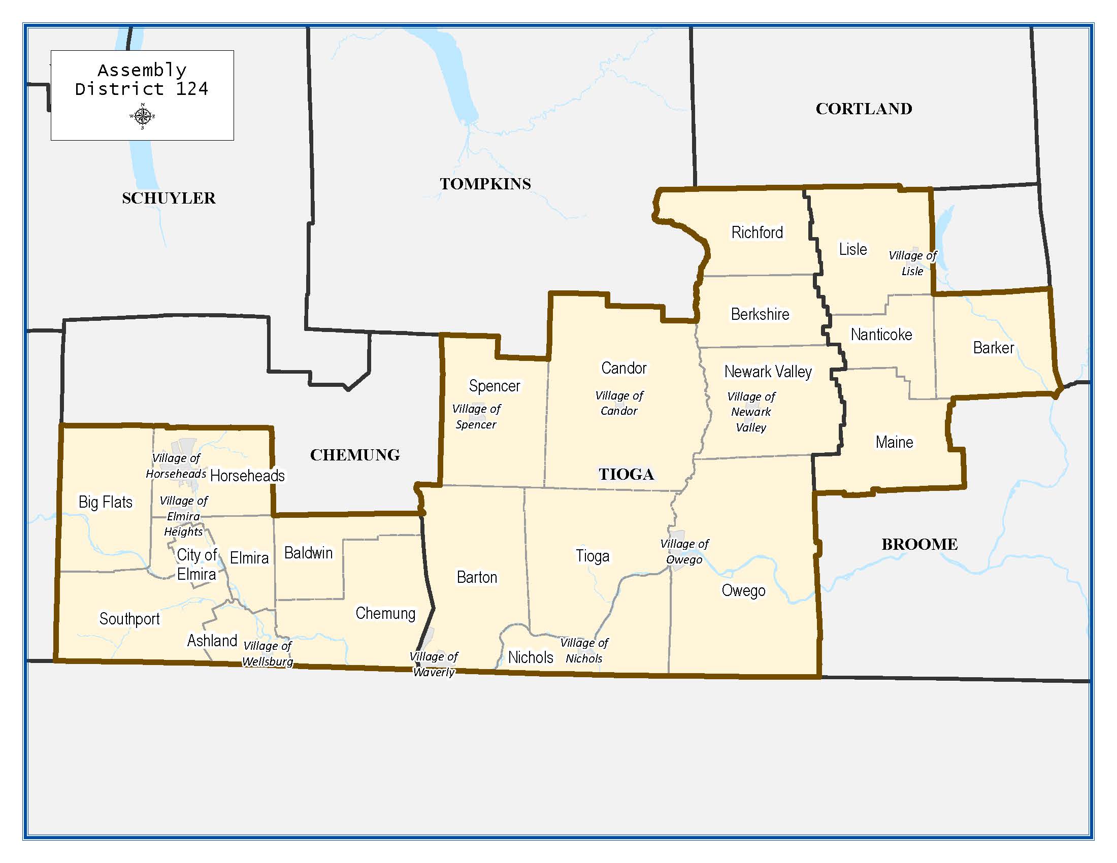
Assembly District
8.5 x 11 inches
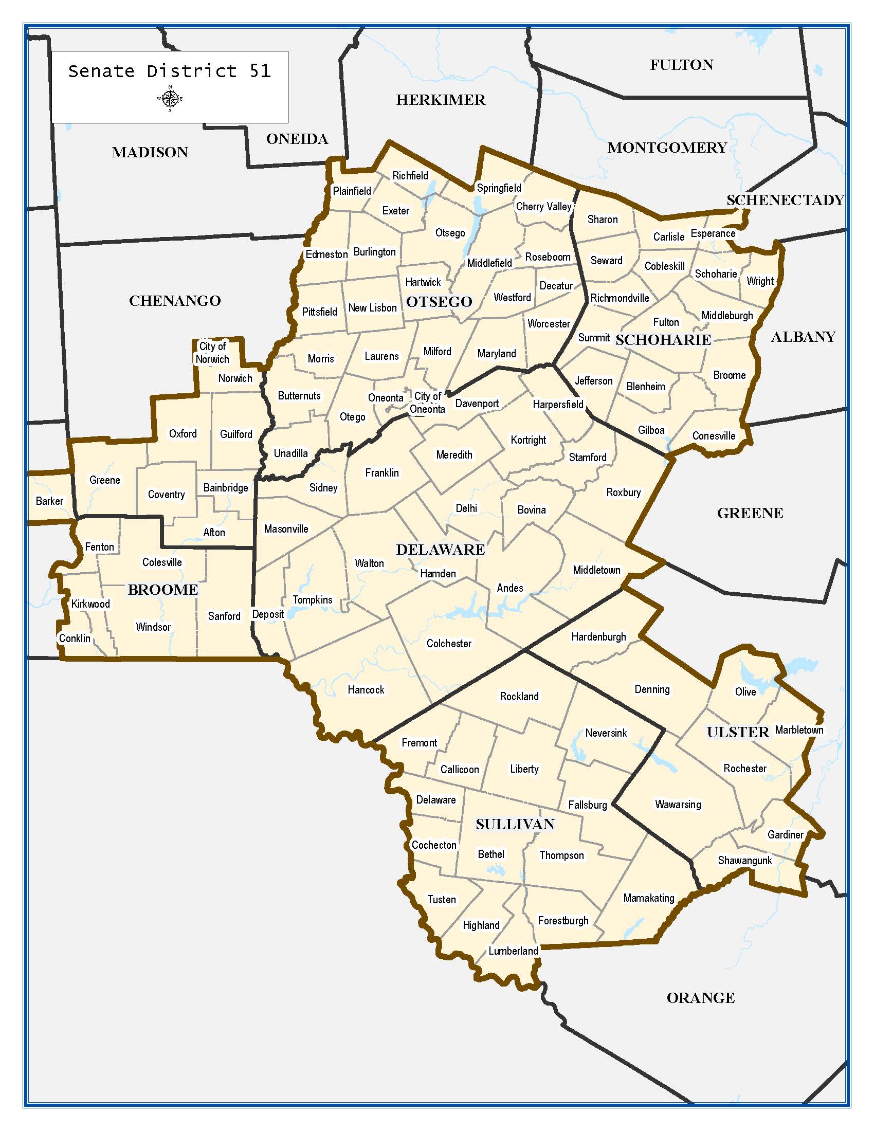
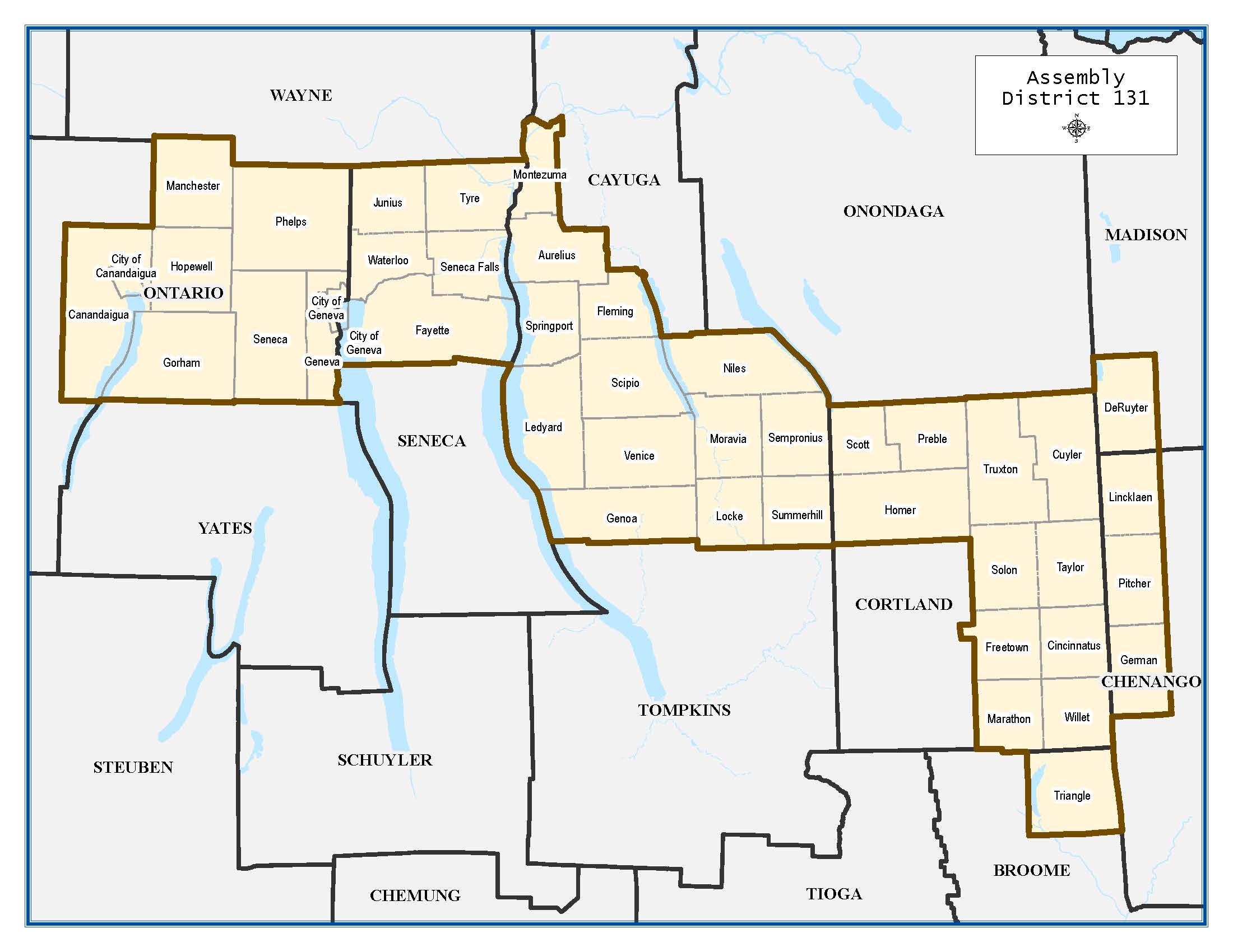
Senate District
8.5 x 11 inches
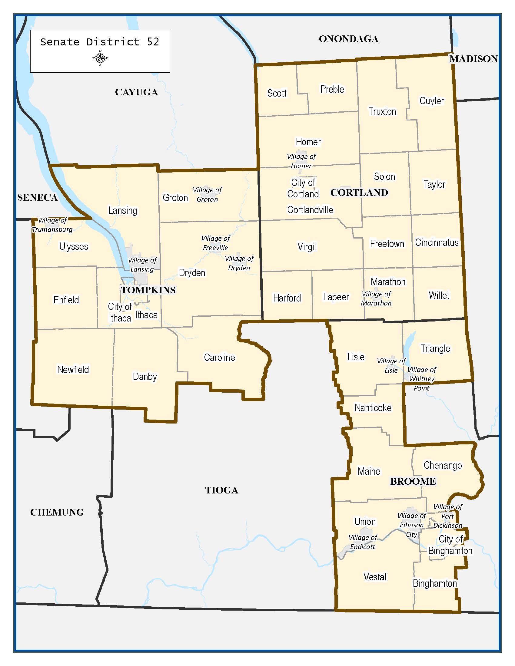
Senate District
8.5 x 11 inches
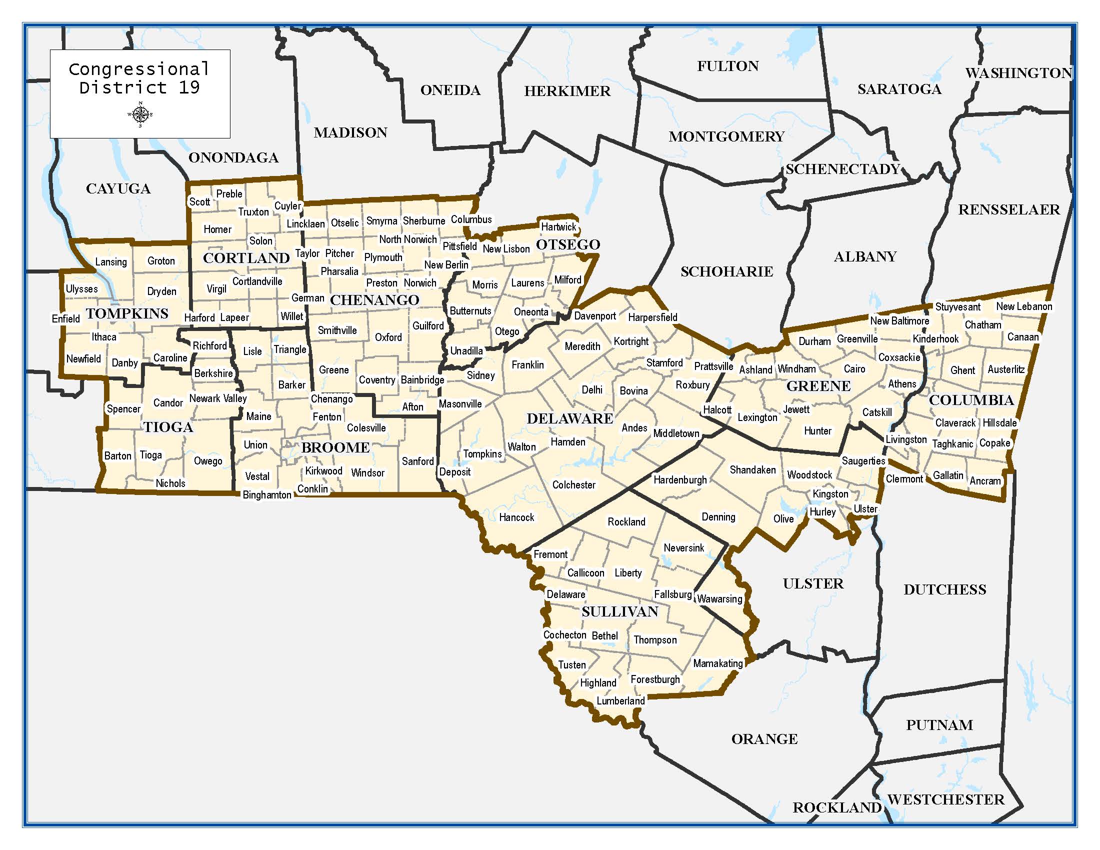
District
8.5 x 11 inches
34 x 44 inches
34 x 44 inches
52nd District (Broome Only)
34 x 44 inches
34 x 44 inches
(Broome Only)
34 x 44 inches
52nd District (Broome Only)
34 x 44 inches
34 x 44 inches
34 x 44 inches
34 x 44 inches
22 x 34 inches
(Broome Only)
34 x 44 inches
123rd District
17 x 22 inches
34 x 44 inches
34 x 44 inches
(Special Election)
34 x 44 inches
22 x 34 inches
(Broome Only)
34 x 44 inches
52nd District (Broome Only)
34 x 44 inches
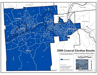
126th District
17 x 22 inches
34 x 44 inches
34 x 44 inches
34 x 44 inches
22 x 34 inches
Democratic Primary
22 x 34 inches
52nd District (Broome Only)
34 x 44 inches
126th District
17 x 22 inches
34 x 44 inches
34 x 44 inches
34 x 44 inches
34 x 44 inches
34 x 44 inches
22 x 34 inches
52nd District (Broome Only)
34 x 44 inches
126th District
17 x 22 inches
34 x 44 inches
34 x 44 inches

34 x 44 inches

34 x 44 inches
34 x 44 inches

34 x 44 inches

34 x 44 inches

34 x 44 inches
34 x 44 inches
34 x 44 inches
34 x 44 inches
34 x 44 inches
34 x 44 inches
34 x 44 inches
34 x 44 inches
34 x 44 inches
34 x 44 inches
34 x 44 inches
34 x 44 inches
34 x 44 inches
34 x 44 inches
34 x 44 inches
34 x 44 inches

34 x 44 inches
34 x 44 inches
34 x 44 inches
22 x 34 inches
34 x 44 inches
34 x 44 inches
34 x 44 inches
34 x 44 inches
34 x 44 inches
34 x 44 inches
34 x 44 inches
34 x 44 inches
34 x 44 inches
34 x 44 inches
34 x 44 inches
34 x 44 inches
34 x 44 inches
34 x 44 inches
17 x 22 inches
22 x 34 inches
22 x 34 inches
17 x 22 inches
17 x 22 inches
17 x 22 inches
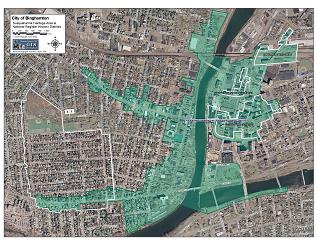
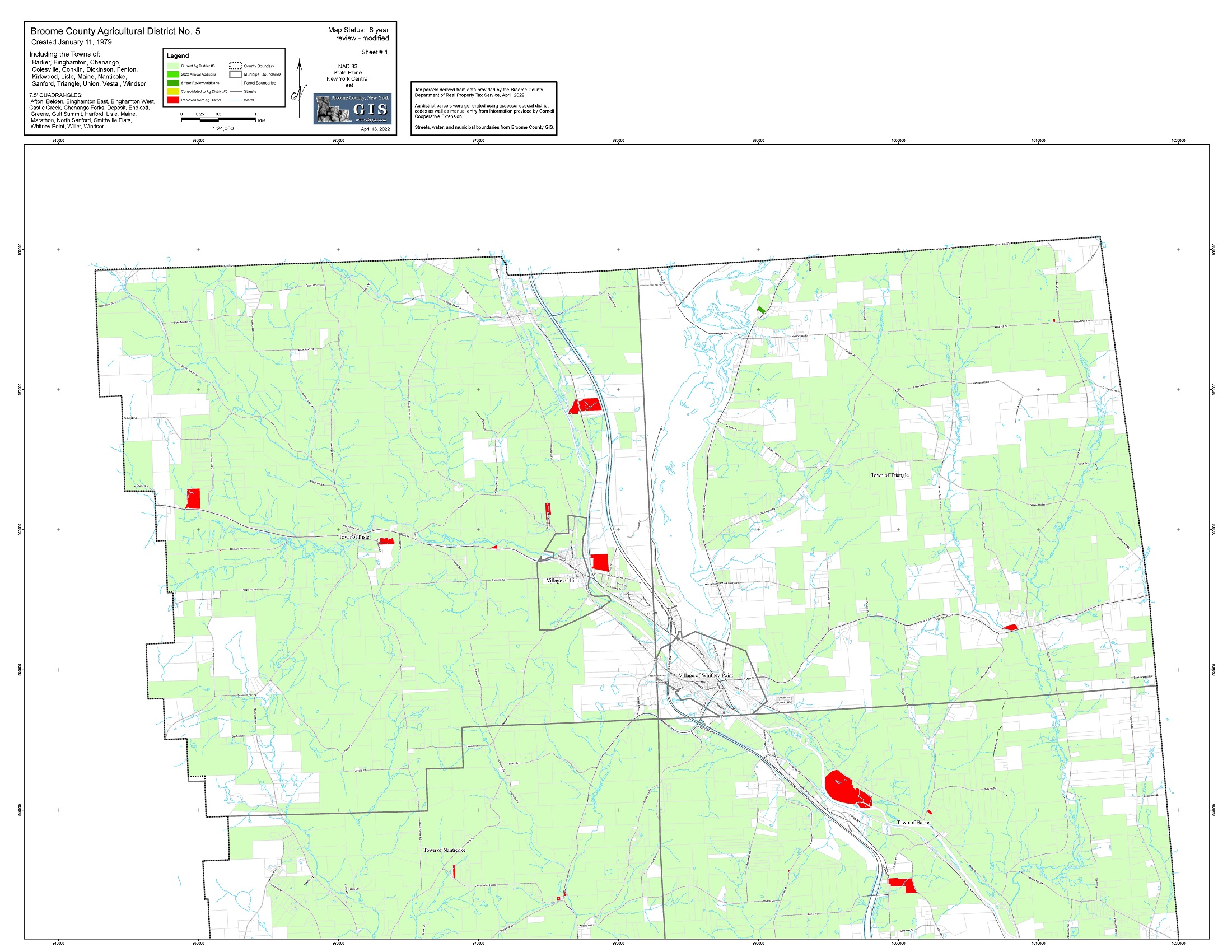
National Register Districts
17 x 22 inches
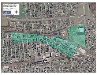
Susquehanna Heritage Area
17 x 22 inches
Susquehanna Heritage Area
17 x 22 inches
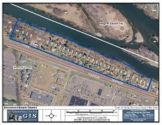
Historic District
8.5 x 11 inches
(6 Pages)
11 x 22 inches
Extension
34 x 44 inches
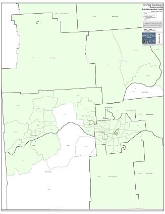
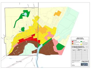
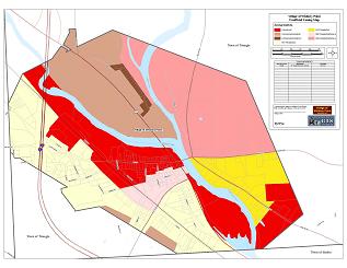
Tax Credit Eligibility
34 x 44 inches
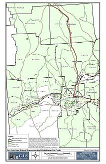
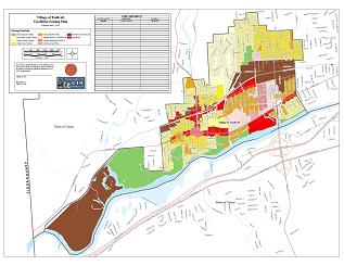
Tax Credit Eligibility
11 x 17 inches
(95 Pages)
17 x 22 inches
(97 Pages)
17 x 22 inches
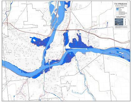
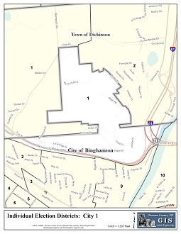
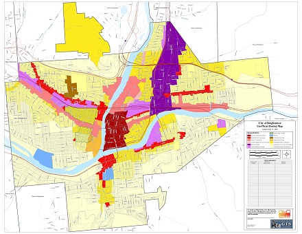
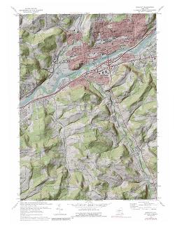
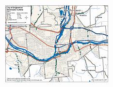
City of Binghamton
34 x 44 inches
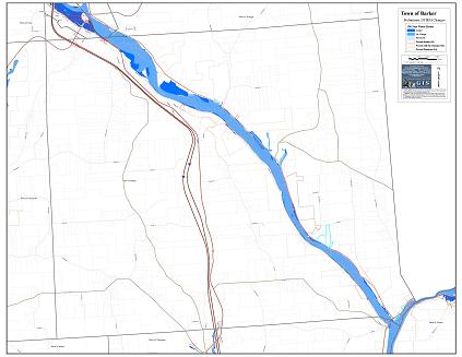
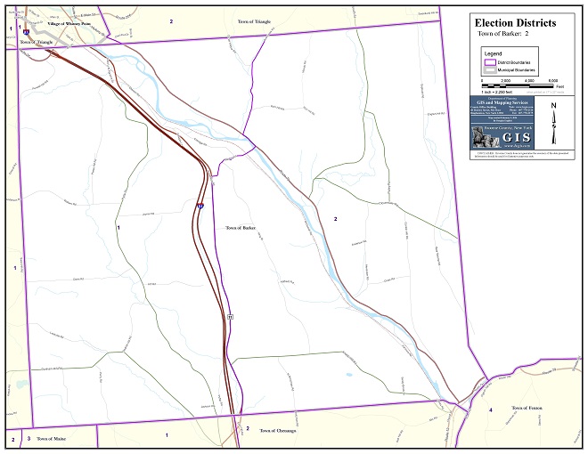
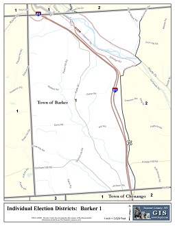
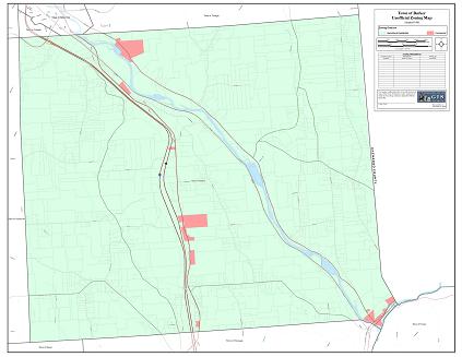
Town of Barker
34 x 44 inches
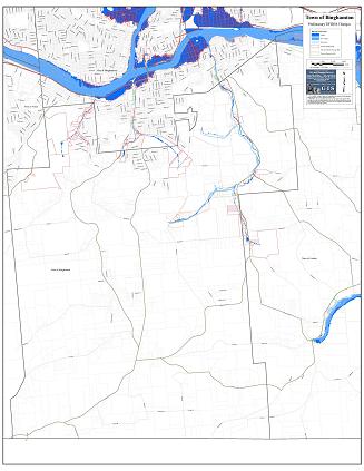
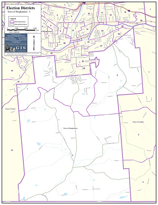
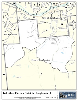
Town of Binghamton
34 x 44 inches
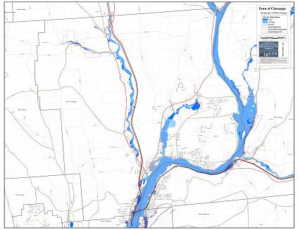
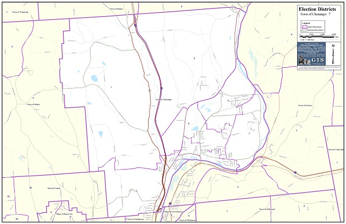
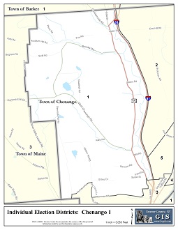
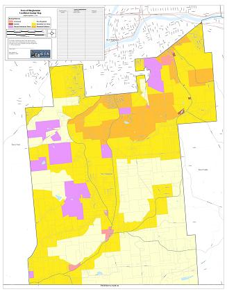
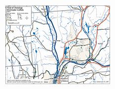
Town of Chenango
34 x 44 inches
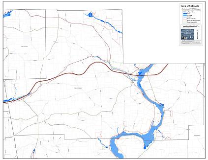
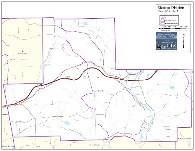
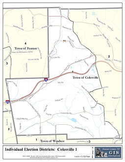
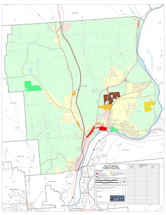
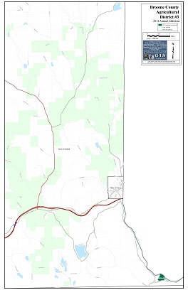
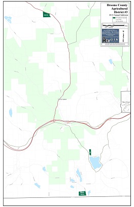
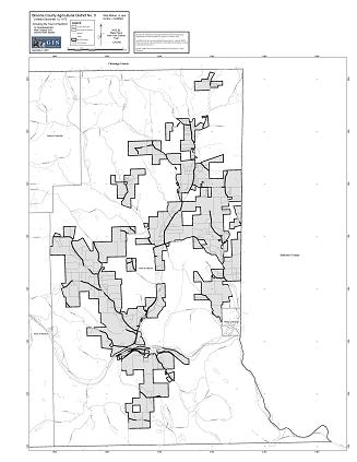
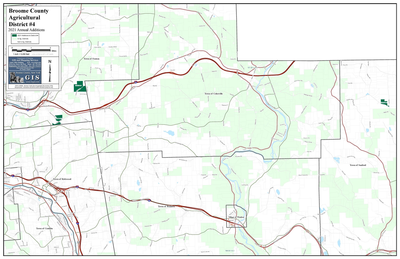
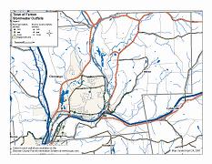
Town of Colesville
34 x 44 inches
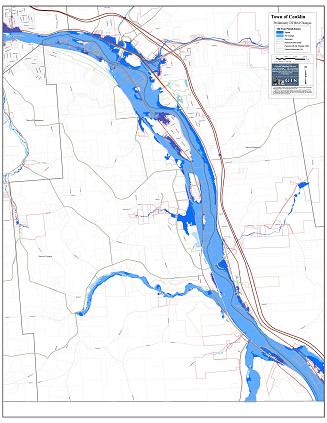
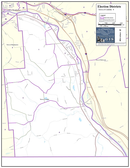
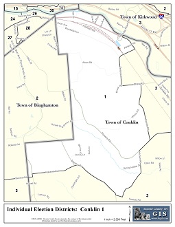
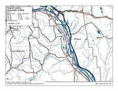
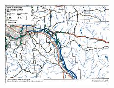
Town of Conklin
34 x 44 inches
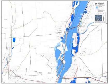
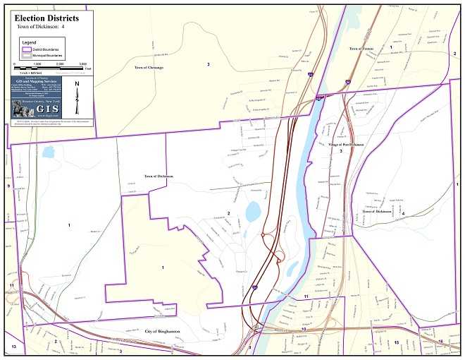
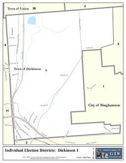
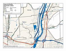
Town of Dickinson
34 x 44 inches
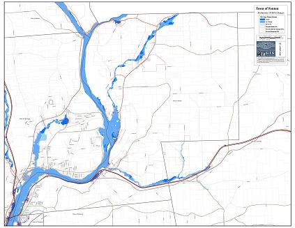
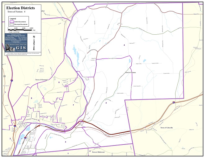
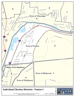
Town of Fenton
34 x 44 inches
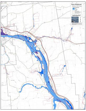
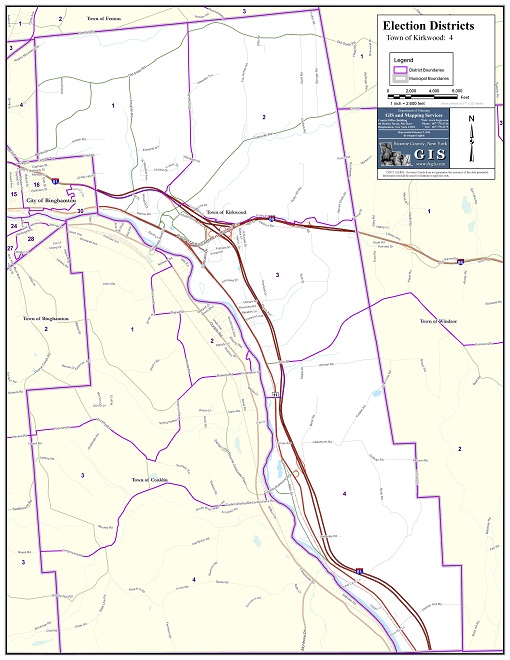
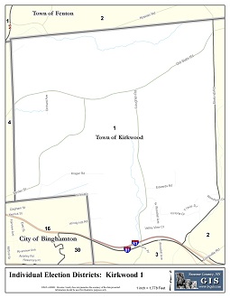
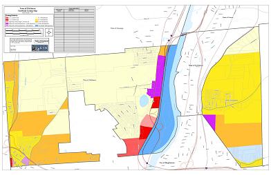
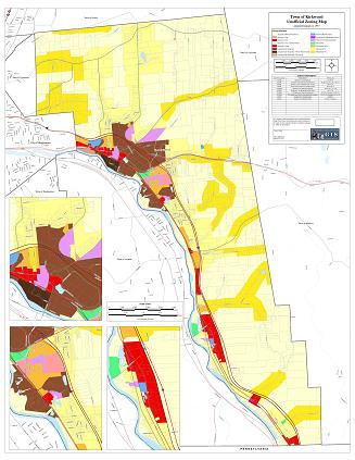
Town of Kirkwood
34 x 44 inches
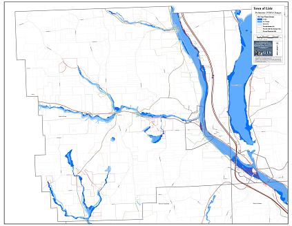
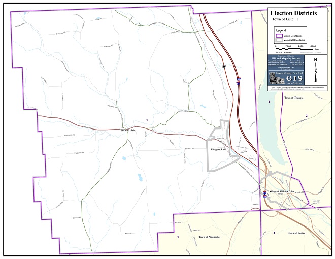
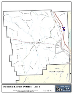
Town of Lisle
34 x 44 inches
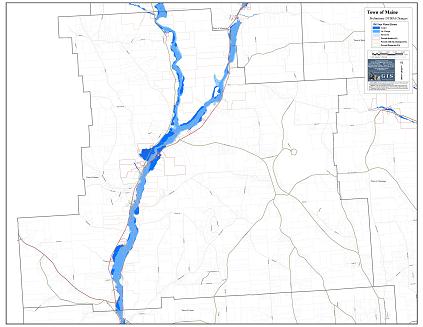
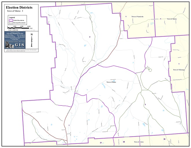
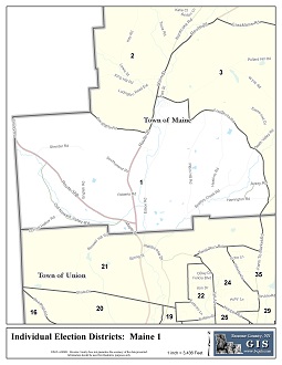
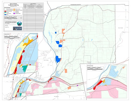
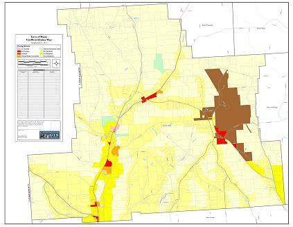
Town of Maine
34 x 44 inches
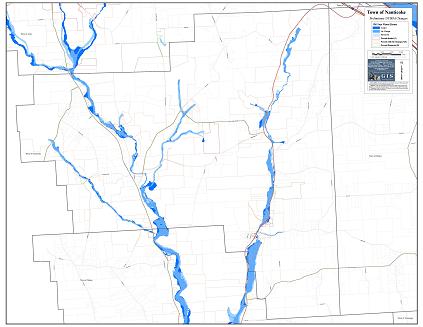
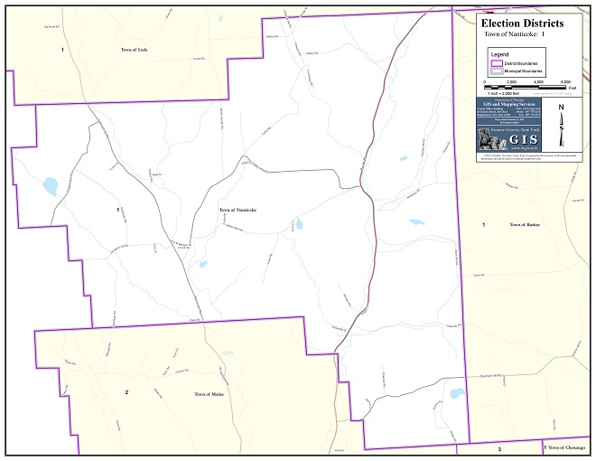
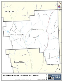
Town of Nanticoke
34 x 44 inches
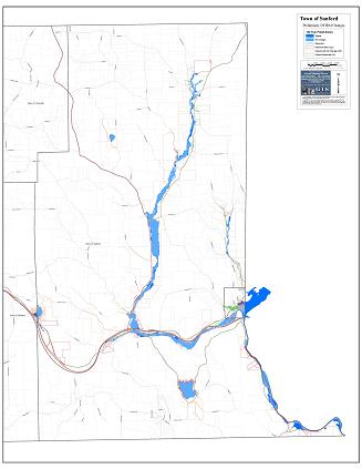
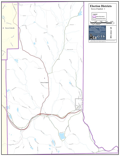
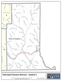
Town of Sanford
34 x 44 inches
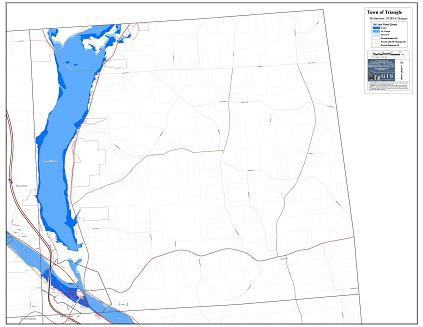
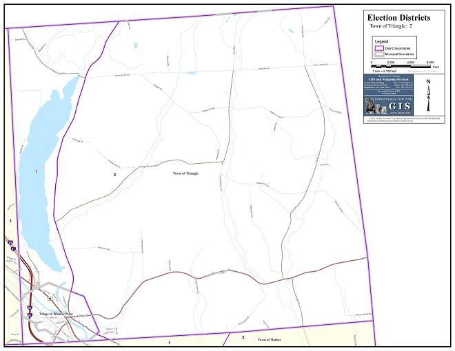
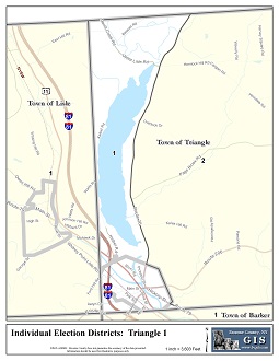
Town of Triangle
34 x 44 inches
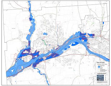
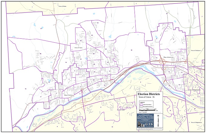
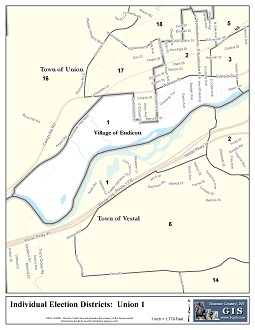
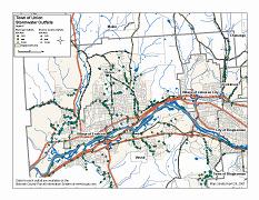
Town of Union
34 x 44 inches
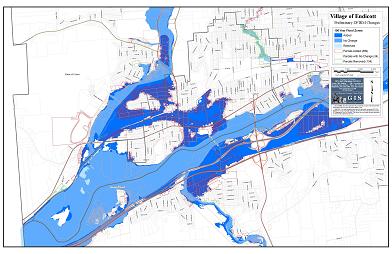
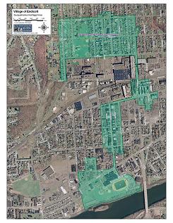
Village of Endicott
22 x 34 inches

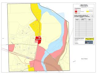
Village of Johnson City
22 x 34 inches
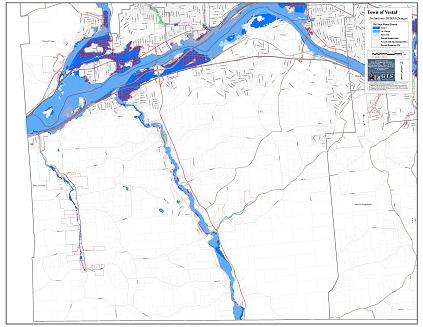
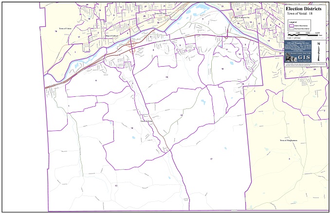
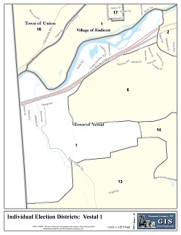
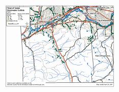
Town of Vestal
34 x 44 inches
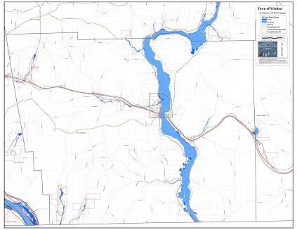
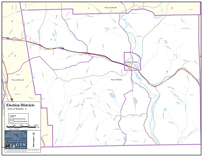
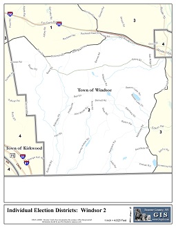
Town of Windsor
34 x 44 inches
17 x 22 inches
(3 Pages)
8.5 x 11 inches
17 x 22 inches
(3 Pages)
8.5 x 11 inches
17 x 22 inches
(3 Pages)
8.5 x 11 inches
17 x 22 inches
(3 Pages)
8.5 x 11 inches
17 x 22 inches
(3 Pages)
8.5 x 11 inches
17 x 22 inches
(3 Pages)
8.5 x 11 inches
(3 Pages)
8.5 x 11 inches
(3 Pages)
8.5 x 11 inches
(3 Pages)
8.5 x 11 inches
34 x 44 inches
as of 6/30/2014
34 x 44 inches
as of 12/31/2013
34 x 44 inches
as of 12/31/2012
34 x 44 inches
as of 12/31/2011
34 x 44 inches
as of 12/31/2010
34 x 44 inches

Download All

Download All

Download All

Download All

Download All

Download All

Download All

Download All

Download All

Download All

Download All

Download All

Download All

Download All

Download All

Download All

Download All

Download All

Download All

Download All

Download All

Download All

Download All

Download All
22 x 34 inches

22 x 34 inches
22 x 34 inches
22 x 34 inches
34 x 44 inches
22 x 34 inches
22 x 34 inches
22 x 34 inches
22 x 34 inches
22 x 34 inches
22 x 34 inches
22 x 34 inches
22 x 34 inches
22 x 34 inches
22 x 34 inches
22 x 34 inches
22 x 34 inches
22 x 34 inches
(4 pages)
34 x 44 inches
22 x 34 inches
22 x 34 inches
22 x 34 inches
22 x 34 inches
(4 pages)
34 x 44 inches
22 x 34 inches
22 x 34 inches
(7 pages)
34 x 44 inches
22 x 34 inches
22 x 34 inches
22 x 34 inches
22 x 34 inches
22 x 34 inches
22 x 34 inches
22 x 34 inches
22 x 34 inches
22 x 34 inches
22 x 34 inches
22 x 34 inches
(2 pages)
34 x 44 inches
22 x 34 inches
22 x 34 inches
22 x 34 inches
22 x 34 inches
22 x 34 inches
22 x 34 inches
(2 pages)
34 x 44 inches
22 x 34 inches
22 x 34 inches
22 x 34 inches
22 x 34 inches
22 x 34 inches
22 x 34 inches
22 x 34 inches
22 x 34 inches
22 x 34 inches
22 x 34 inches
22 x 34 inches
22 x 34 inches
22 x 34 inches
22 x 34 inches
22 x 34 inches
22 x 34 inches
22 x 34 inches
22 x 34 inches
22 x 34 inches
22 x 34 inches
22 x 34 inches
22 x 34 inches
22 x 34 inches
22 x 34 inches
22 x 34 inches
22 x 34 inches
22 x 34 inches
22 x 34 inches
22 x 34 inches
22 x 34 inches
22 x 34 inches
22 x 34 inches
22 x 34 inches
22 x 34 inches
22 x 34 inches
22 x 34 inches
22 x 34 inches
22 x 34 inches
22 x 34 inches
22 x 34 inches
22 x 34 inches
22 x 34 inches
22 x 34 inches
22 x 34 inches
22 x 34 inches
22 x 34 inches
22 x 34 inches
22 x 34 inches
22 x 34 inches
22 x 34 inches
34 x 44 inches
34 x 44 inches
34 x 44 inches
Pre-Plan Map
34 x 44 inches
River Pre-Plan Map
34 x 44 inches
Central Pre-Plan Map
34 x 44 inches
Rural Pre-Plan Map
34 x 44 inches
Rivers Pre-Plan Map
34 x 44 inches
Response Booklet
8.5 x 11 inches
(263 Pages)
34 x 44 inches
34 x 44 inches
8.5 x 11 inches
8.5 x 11 inches
8.5 x 11 inches
8.5 x 11 inches
8.5 x 11 inches
8.5 x 11 inches
8.5 x 11 inches
8.5 x 11 inches
8.5 x 11 inches
8.5 x 11 inches
34 x 44 inches
Story & Web Maps
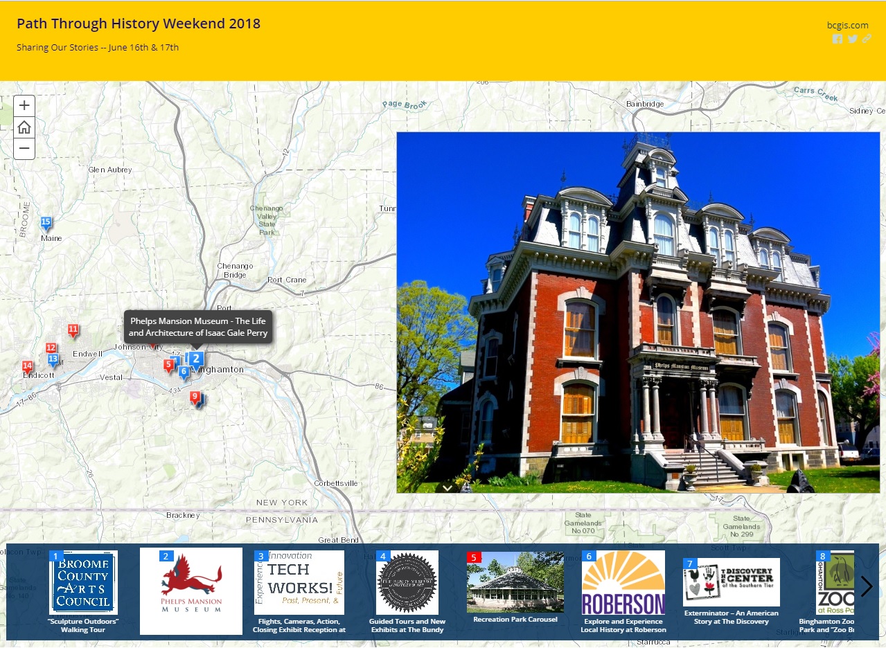
Path Through History 2018
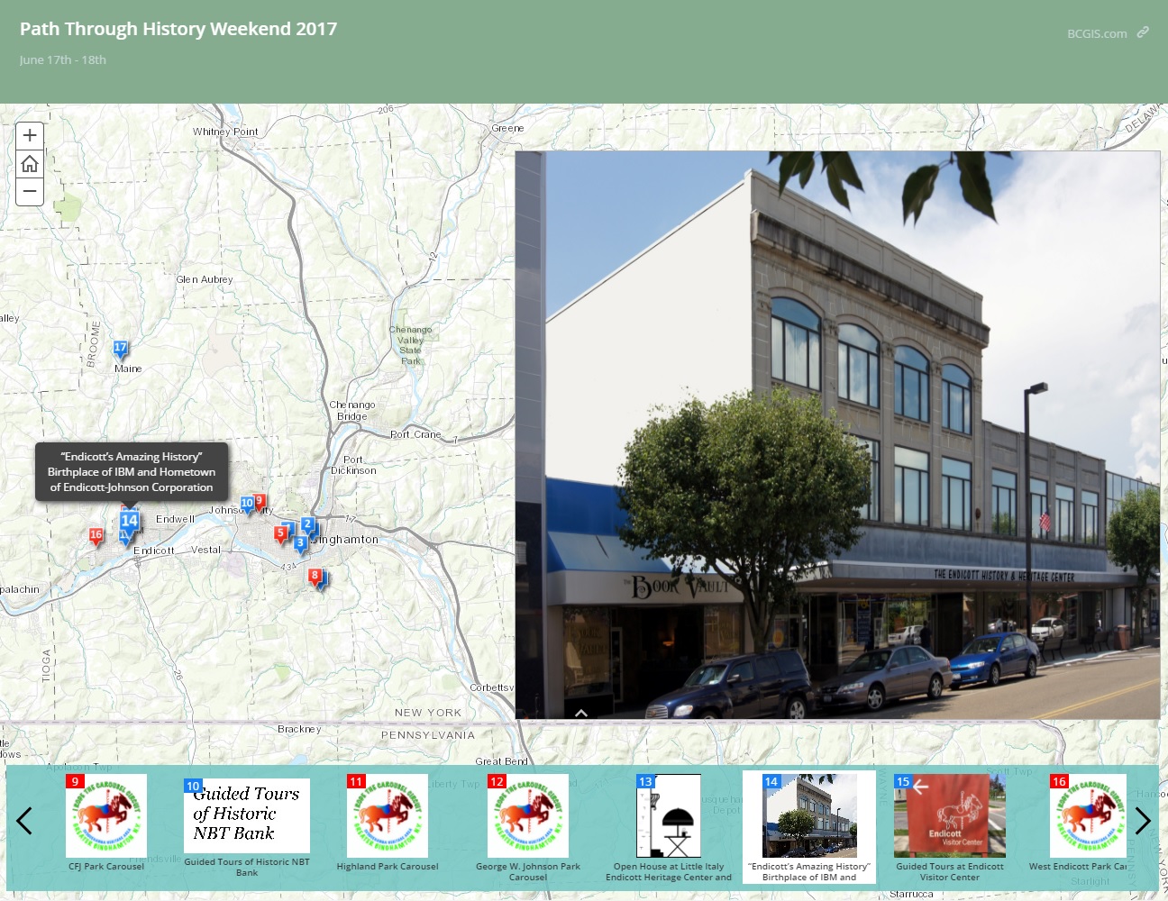
Path Through History 2017
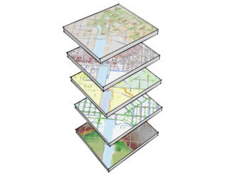
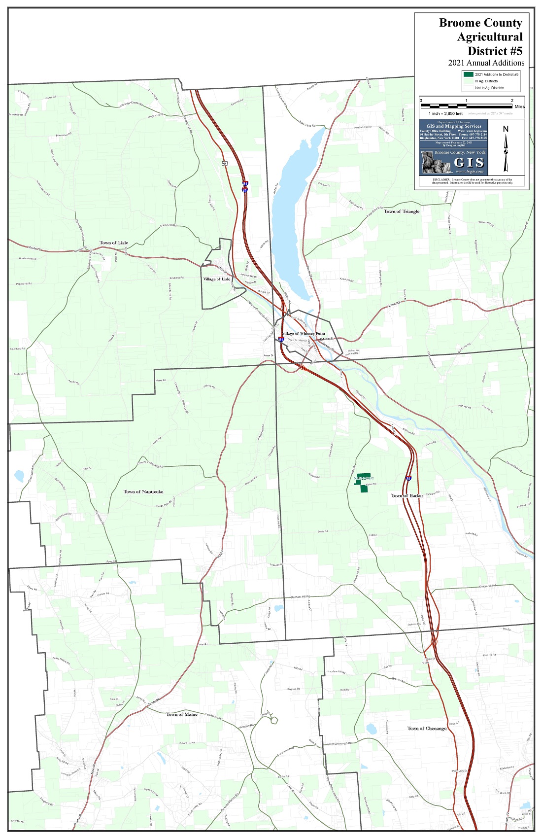
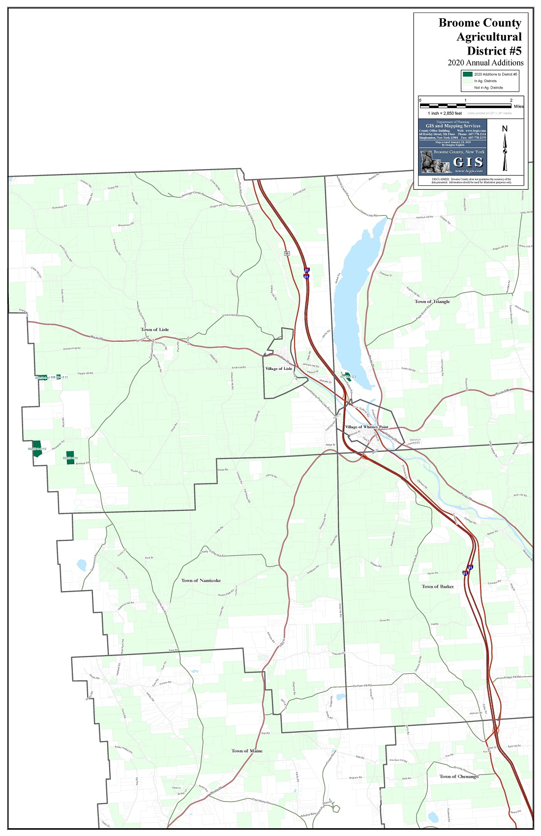
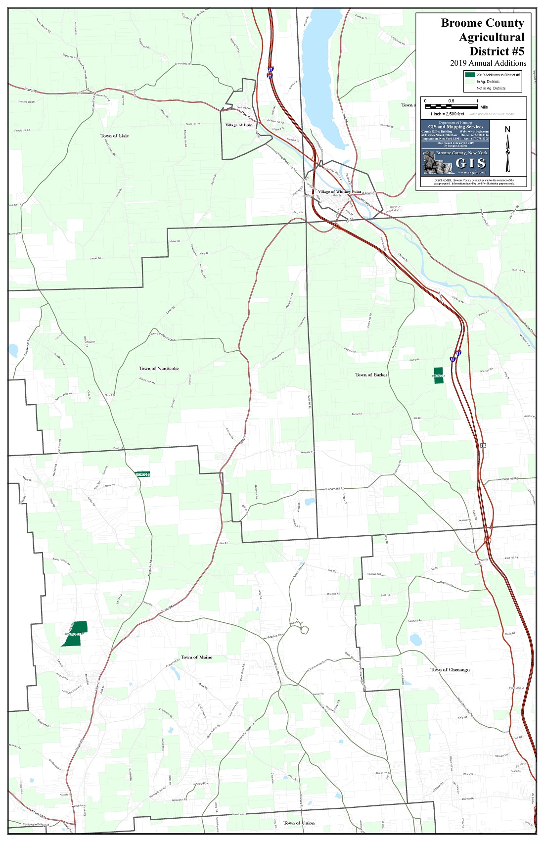
GIS Data Resources
New York State GIS Clearinghouse
Cornell University Geospatial Information Repository (CUGIR)
Download/Request Select GIS Data Used by Broome County:
Cadastral/Planitmetrics
Parcels with Attributes
Parcel Boundaries Only
911 Addresses
Building Outlines (1989)
Building Polygons (1989)
Hydrography (1989)
Pavement Edge (1989)
Tree Lines (1989)
National Geodetic Survey
Broome Geodetic Survey
Aerial Photos
2002 - 2022 Air Photos
1999 Color Air Photos
1994 Infrared Air Photos
1989 B&W Air Photos
1981 B&W Air Photos
1973 B&W Air Photos
1965 B&W Air Photos
1944 B&W Air Photos
1937 B&W Air Photos
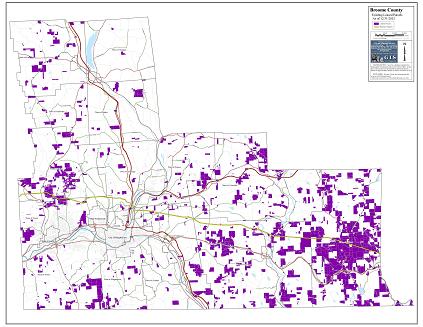
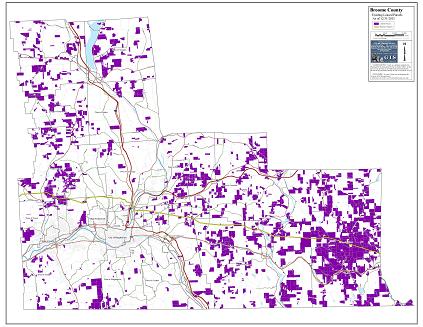
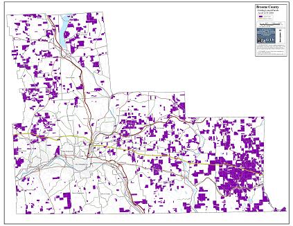
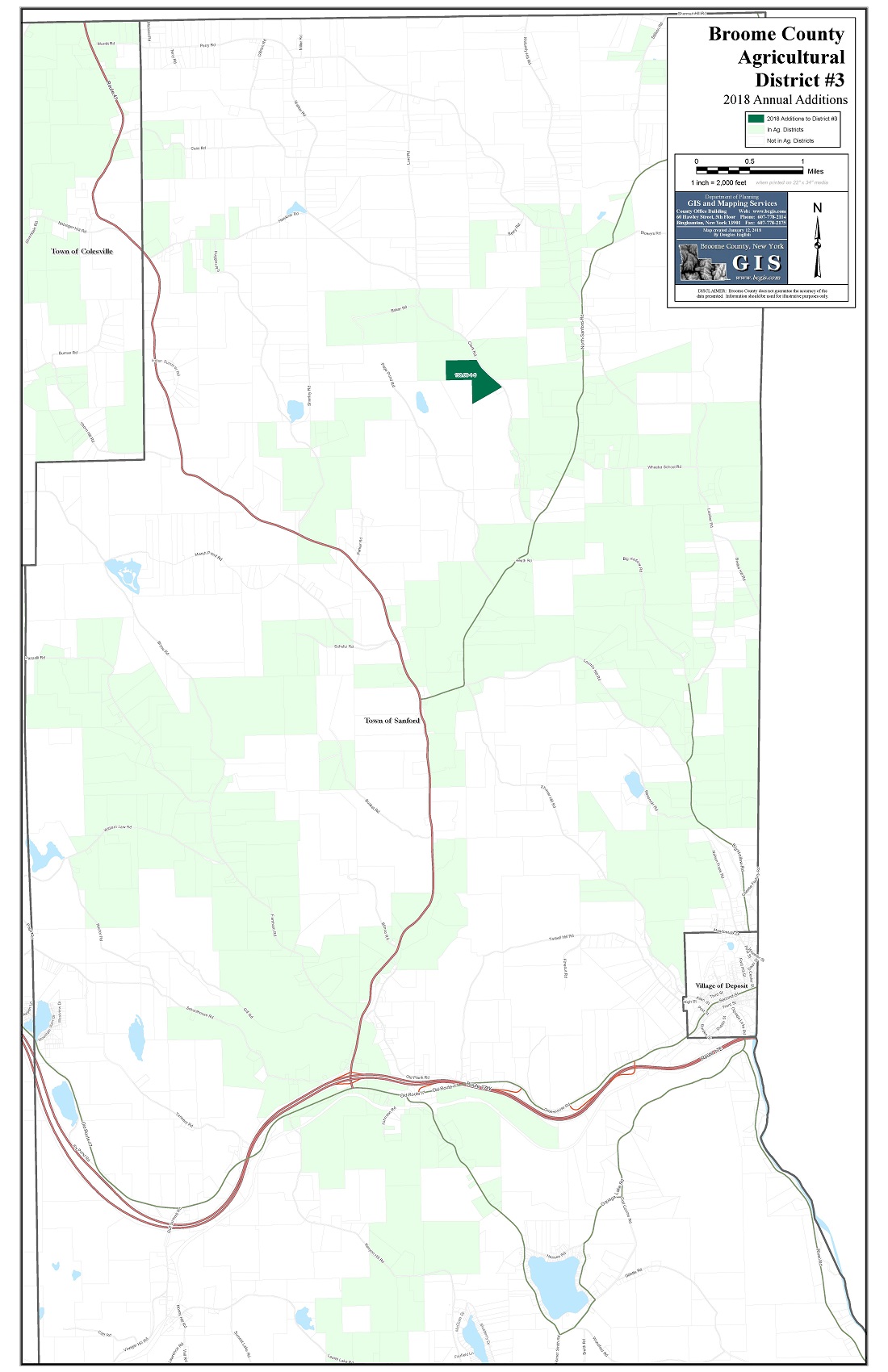
Boundaries/Districts
County Boundary
Municipal Boundaries
Places
Zip Codes
School Districts
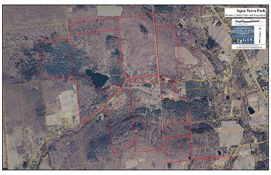
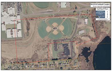
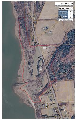
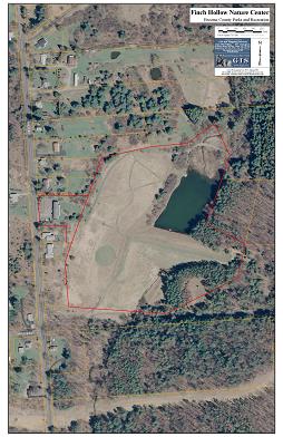
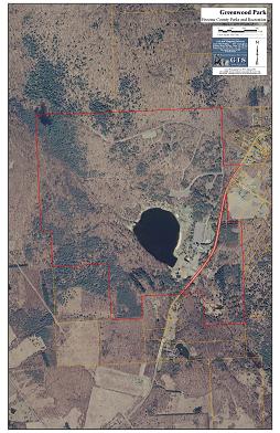
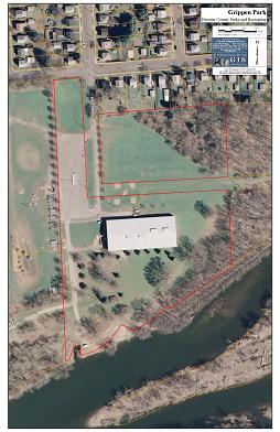
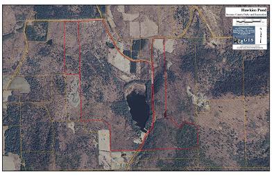
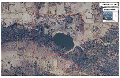
Parks & Recreation
Local & State Historic Districts
National Register Districts
Fire Coverage
EMS Zones
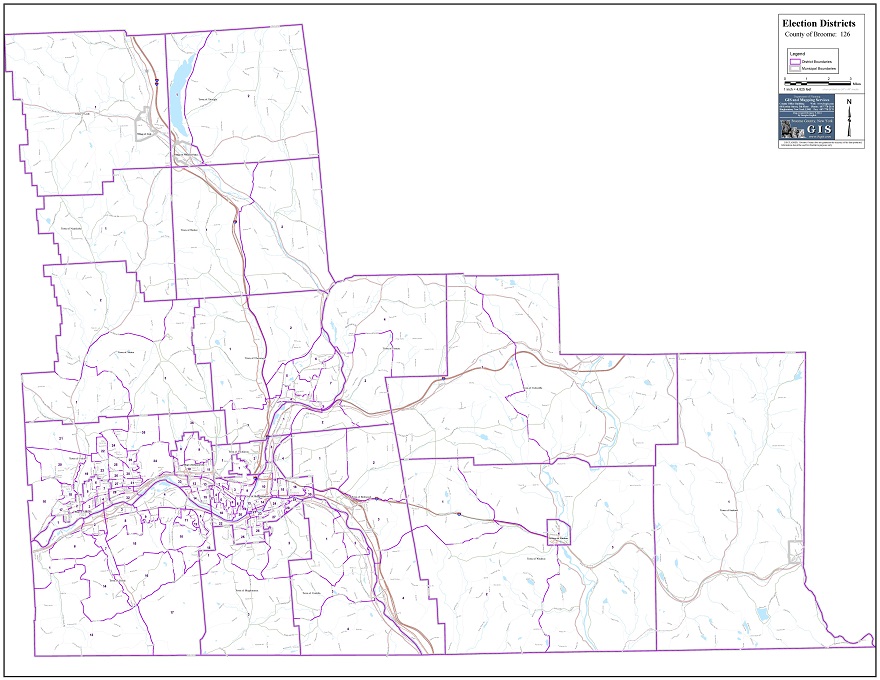
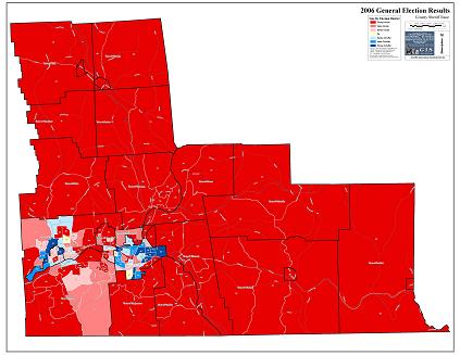
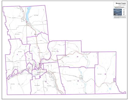
Election Districts
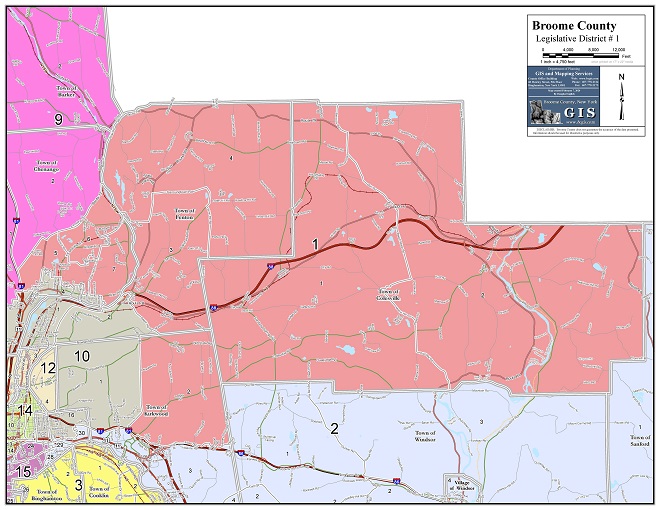
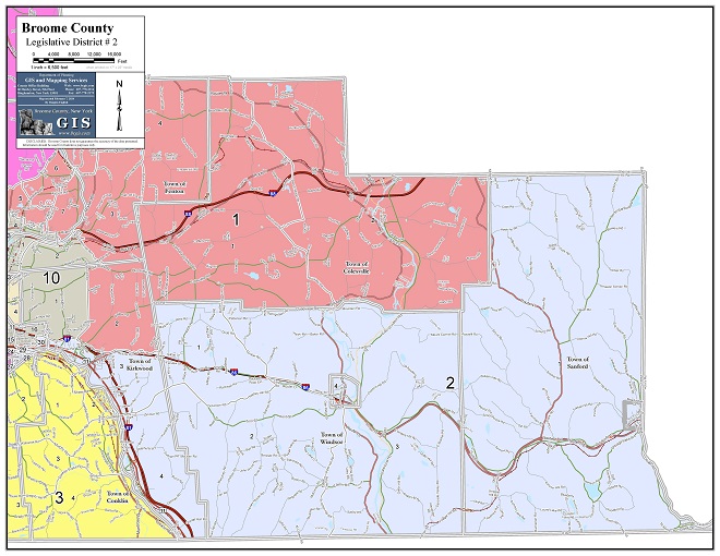
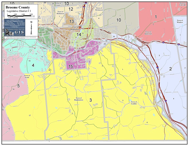
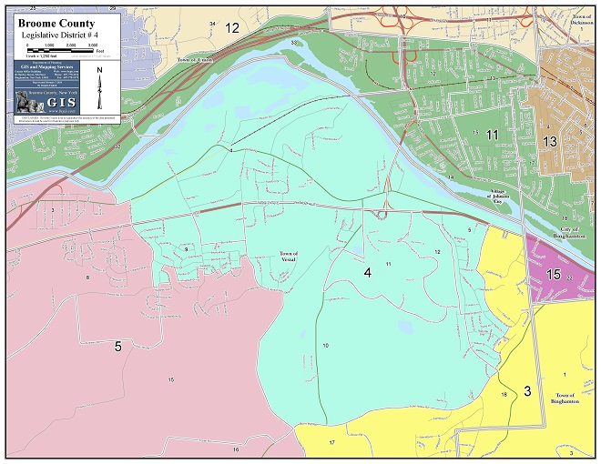
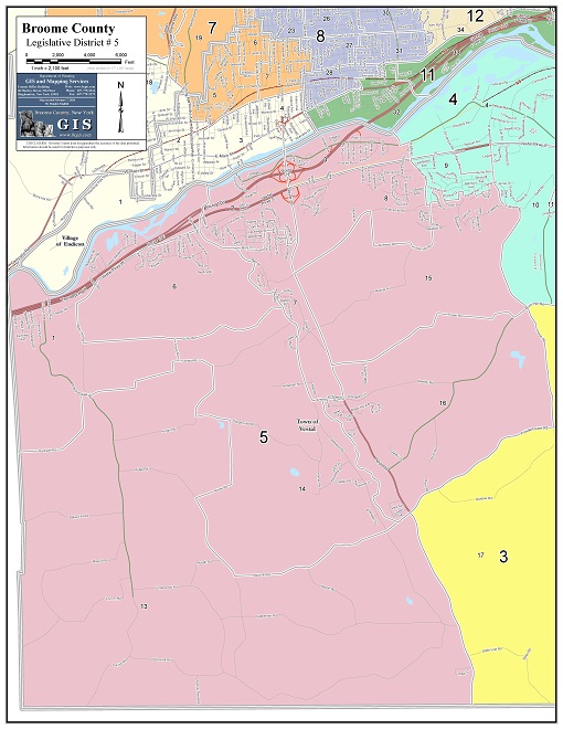
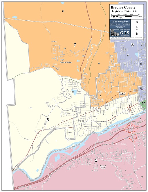
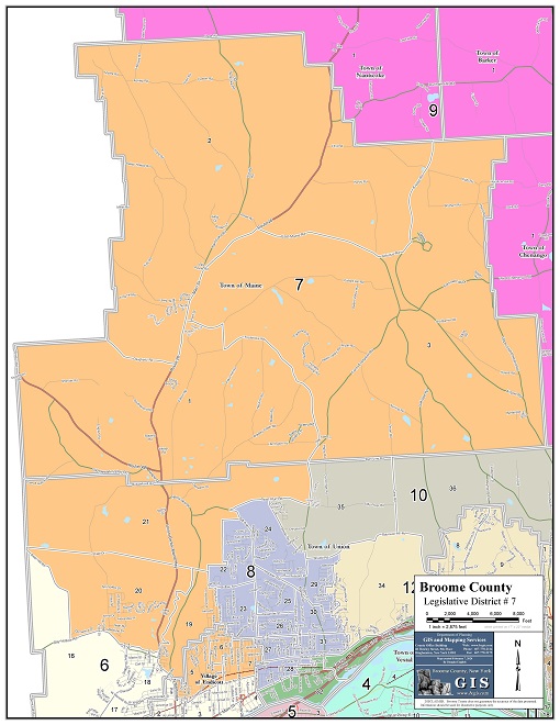
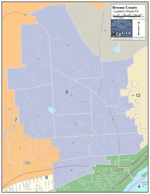
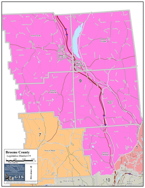
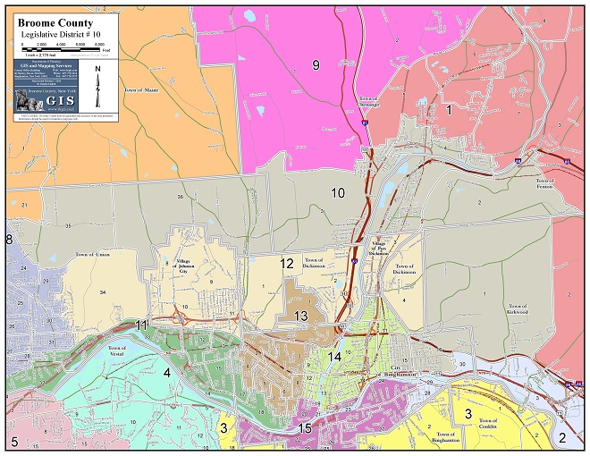
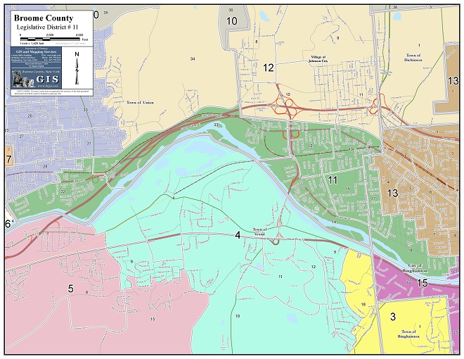
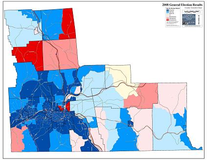
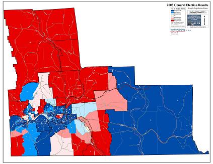
County Legislative Districts
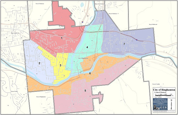
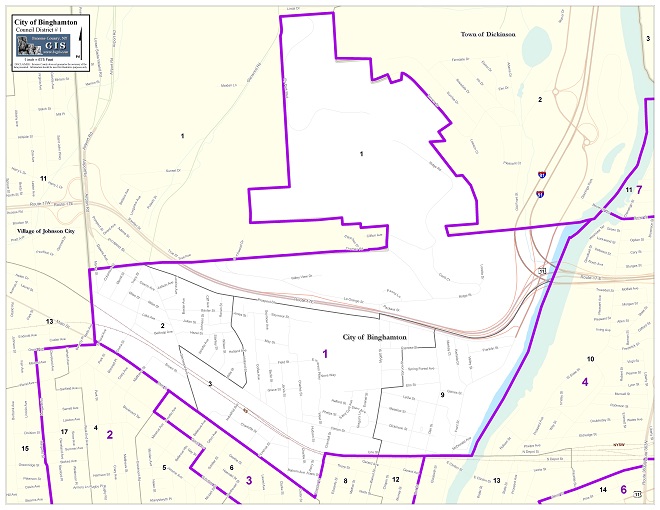
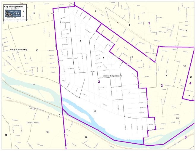
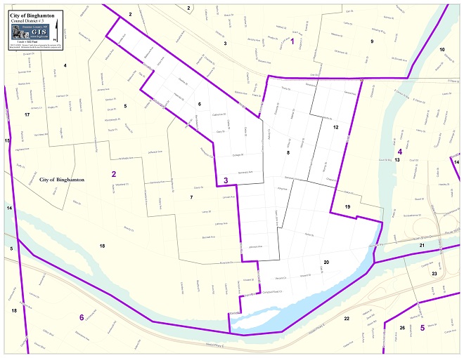
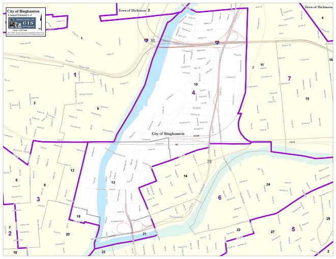
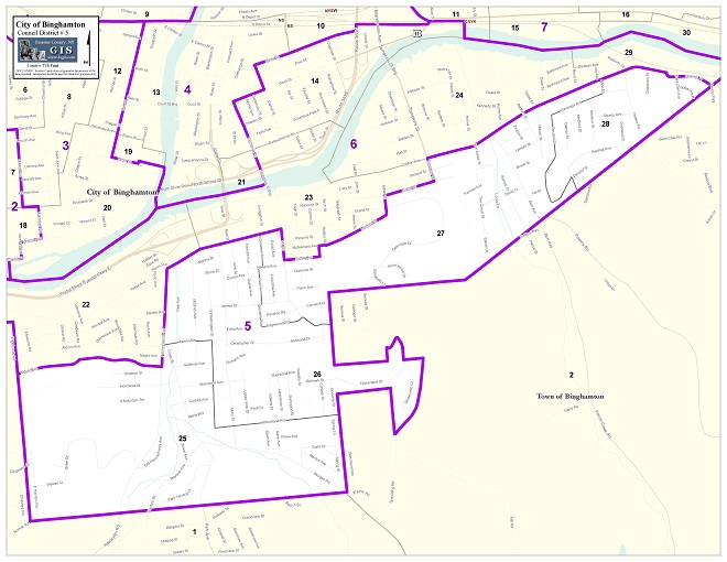
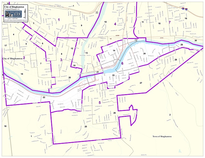
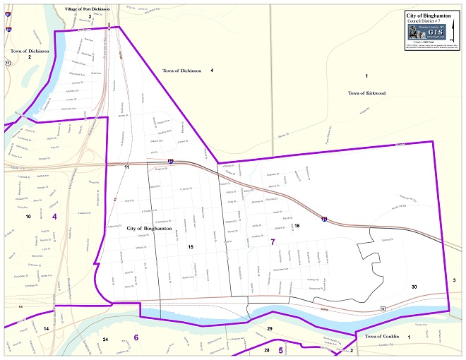
City Council Districts
State Assembly Districts
State Senate Districts
Congressional Districts
Census Boundaries
Environmental/Natural
Features
LiDAR (2007)
Elevation
Contours
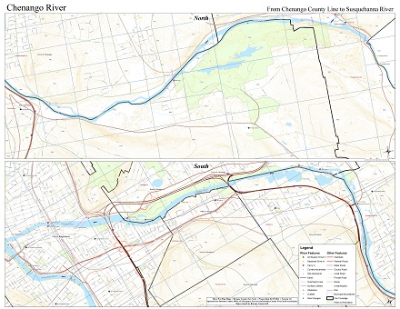
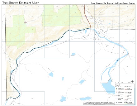
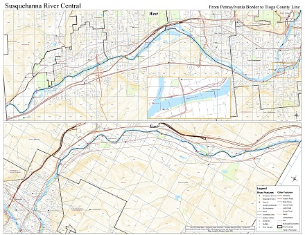
Water Features
DEC Wetlands
NWI Wetlands
Soils
Bedrock & Surficial Geology
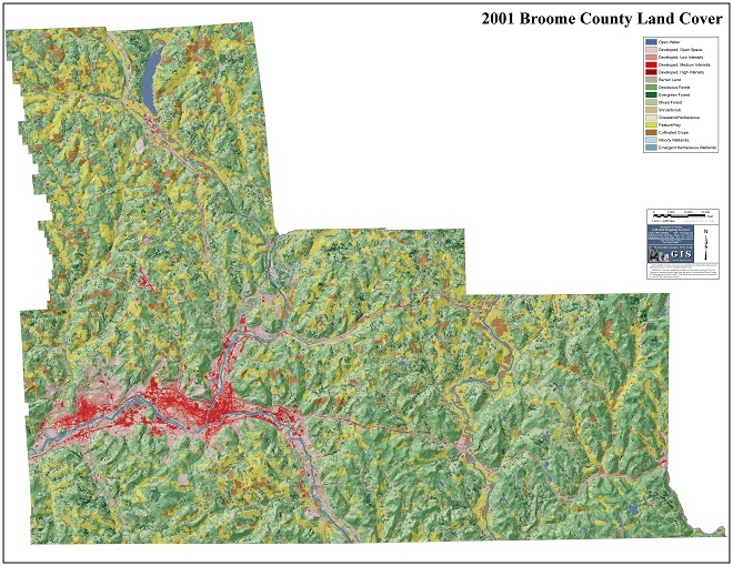
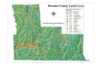
2016 Land Cover
Transportation/
Infrastructure
Street Centerlines
Rail
Transit Routes
Bus Stops
Snowmobile Trails
Catchbasins
Fire Hydrants
Water Valves
Water Mains
Manholes
Sewer Mains
Facilities
Municipal Halls
Post Offices
Polling Places
Schools
Colleges
Libraries
Historic Sites
Local Landmarks
Ambulance Squads
Fire Stations
Police Stations
Hospitals
Nursing Homes
Senior Centers
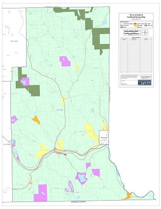
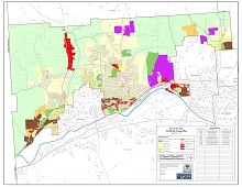
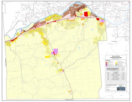
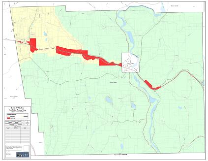
Municipal Zoning
City of Binghamton
Town of Barker
Town of Binghamton
Town of Chenango
Town of Colesville
Town of Conklin
Town of Dickinson
Town of Fenton
Town of Kirkwood
Town of Maine
Town of Sanford
Town of Union
Town of Vestal
Town of Windsor
Village of Deposit
Village of Endicott
Village of Johnson City
Village of Port Dickinson
Village of Whitney Point
Village of Windsor
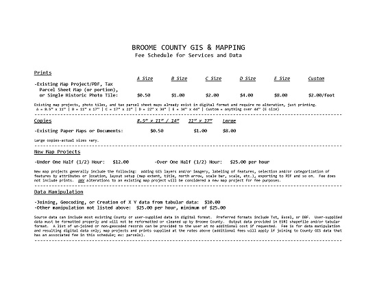
Map & Data Requests
Tax Map Request
Tax maps in the Tax Map section of the Map Library can be printed for a fee. Select the tax maps you'd like printed by selecting the sheet number in the drop-down box under the municipal name and clicking the 'Request' button and your requests will show up here. Multiple tax maps can be selected. If you are unsure of what sheet number to request, either search for the parcel in the search area to the left to determine the sheet number (the sheet number is the first five digits of the parcel ID, ex: 080.04) or submit a custom map request instead, indicating you'd like a tax map in the Map Description section, along with an address or some other piece of information to allow us to locate the tax map sheet.Existing Map Request
Existing maps in the Map Library can be printed for a fee. Select the maps you'd like printed by clicking the check box next to the map title in the Map Library and your requests will show up here. Multiple maps can be selected.Custom Map Request
Custom GIS maps can be requested for a fee. Enter the information below to help us narrow down what you'd like. We will contact you before we finalize and print anything.| Map Description | Map Size | Copies |
|---|---|---|